


SatExplorer
Your one-stop platform for analyzing satellite mapping data hand-in-hand with expert domain support
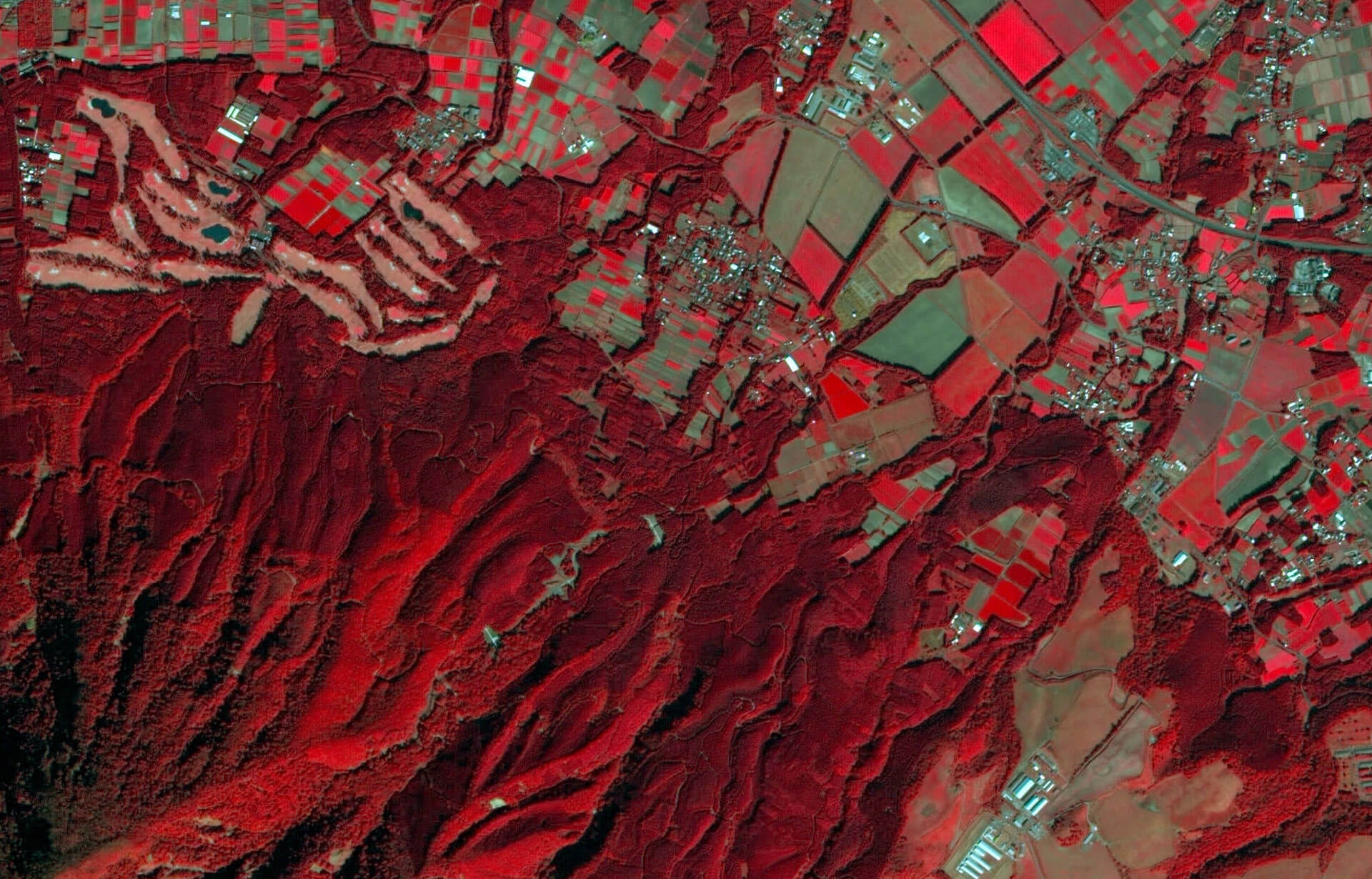
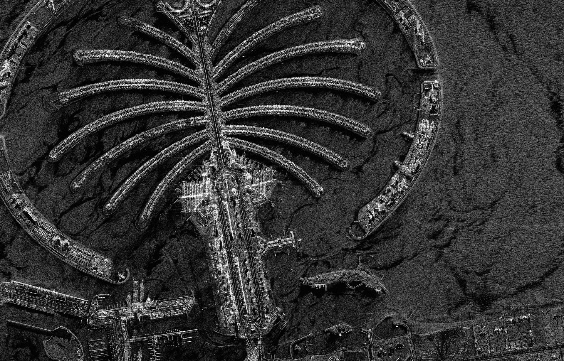
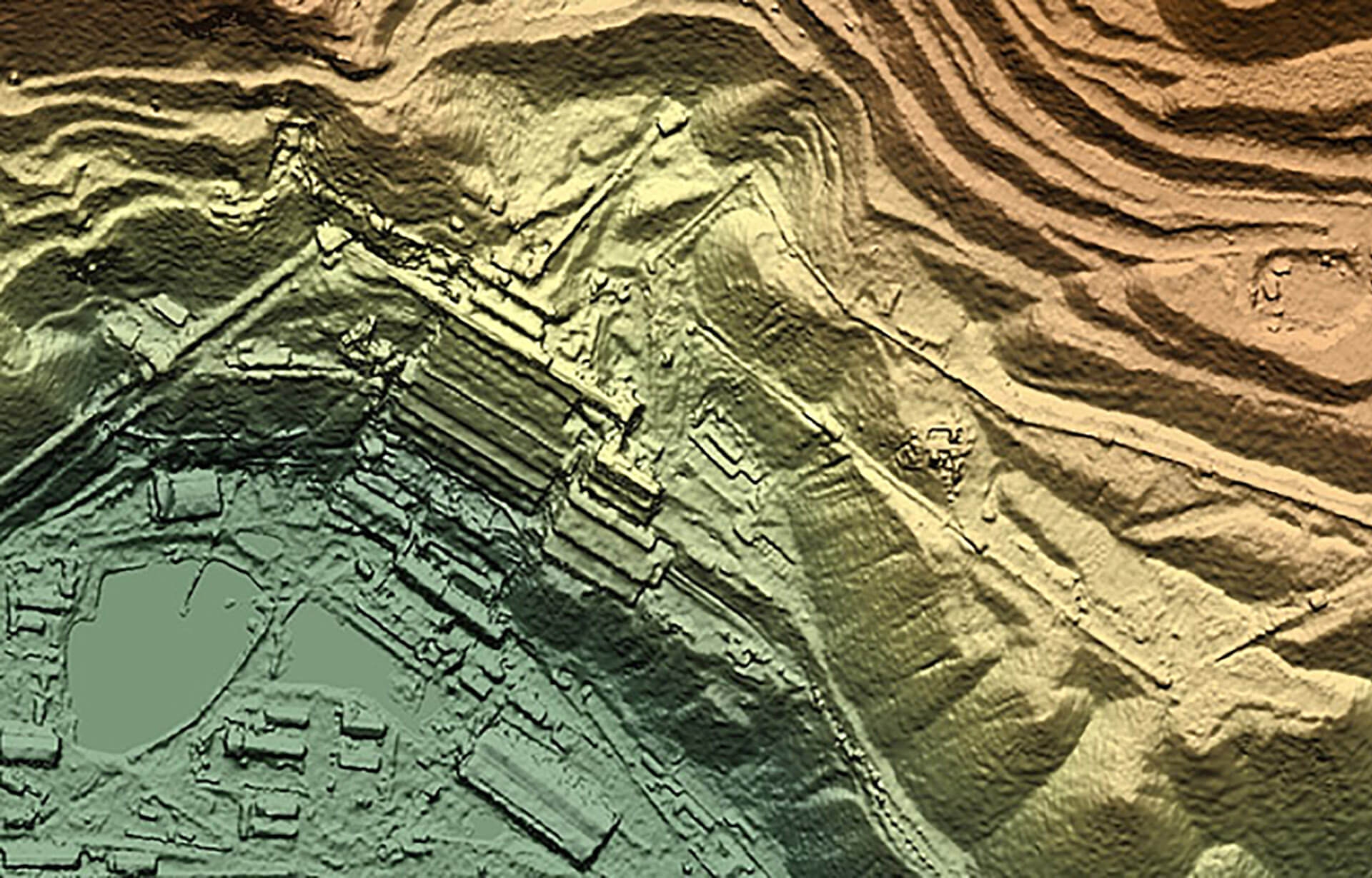
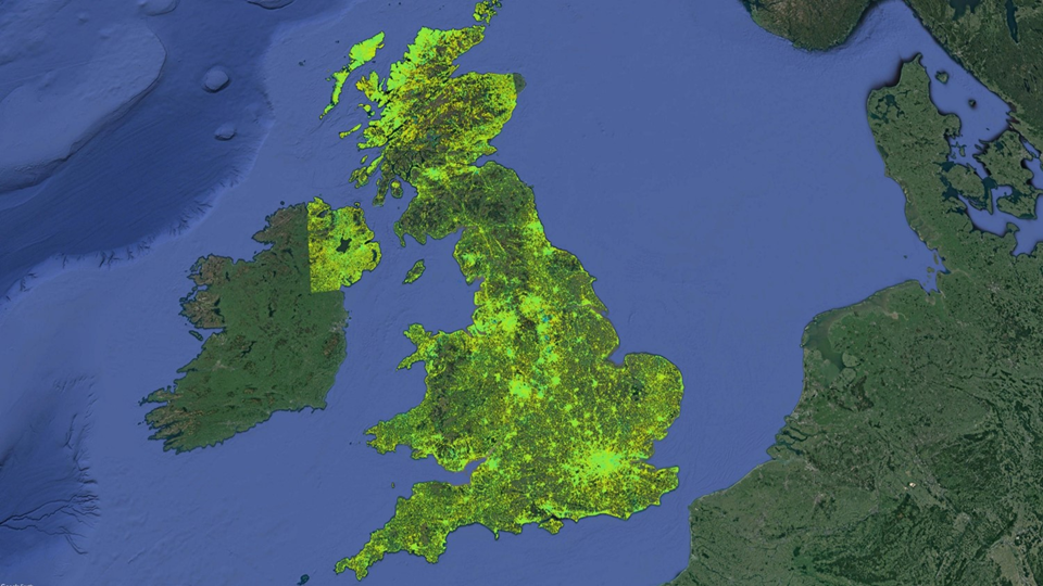
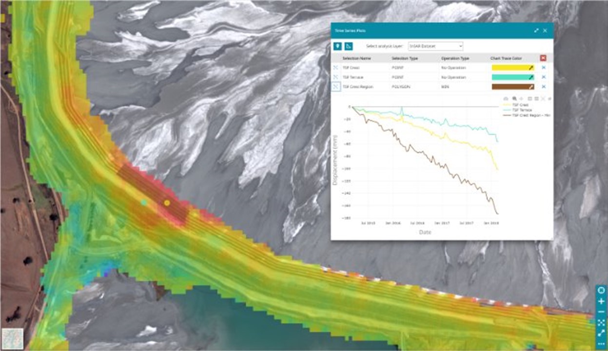
SatExplorer is a web-based platform that provides users with a secure and intuitive interface for examining satellite mapping data
- Interrogate data using a variety of visualization and analytical tools with CGG satellite mapping integrated expertise
- Tap into our network of Earth observation and data science specialists for advanced, integrated support

Satellite data analysis enhanced by our HPC, cloud & AI recognized expertise
SatExplorer is hosted securely on the cloud giving users greater freedom to utilize data on the move without needing to download big data sets.
CGG is an industry leader in AI and high-performance computing (HPC), with 500 petaFLOPS capacity. Our data centres, cloud technology and AI lab help to push the boundaries of what is possible with satellite remote satellite data.
Why SatExplorer is your platform of choice for remote satellite data exploration & analysis
Deliver
Upload CGG satellite remote sending data securely and create & export graphs, tables and images based on your custom visualization and analysis requirementsVisualize
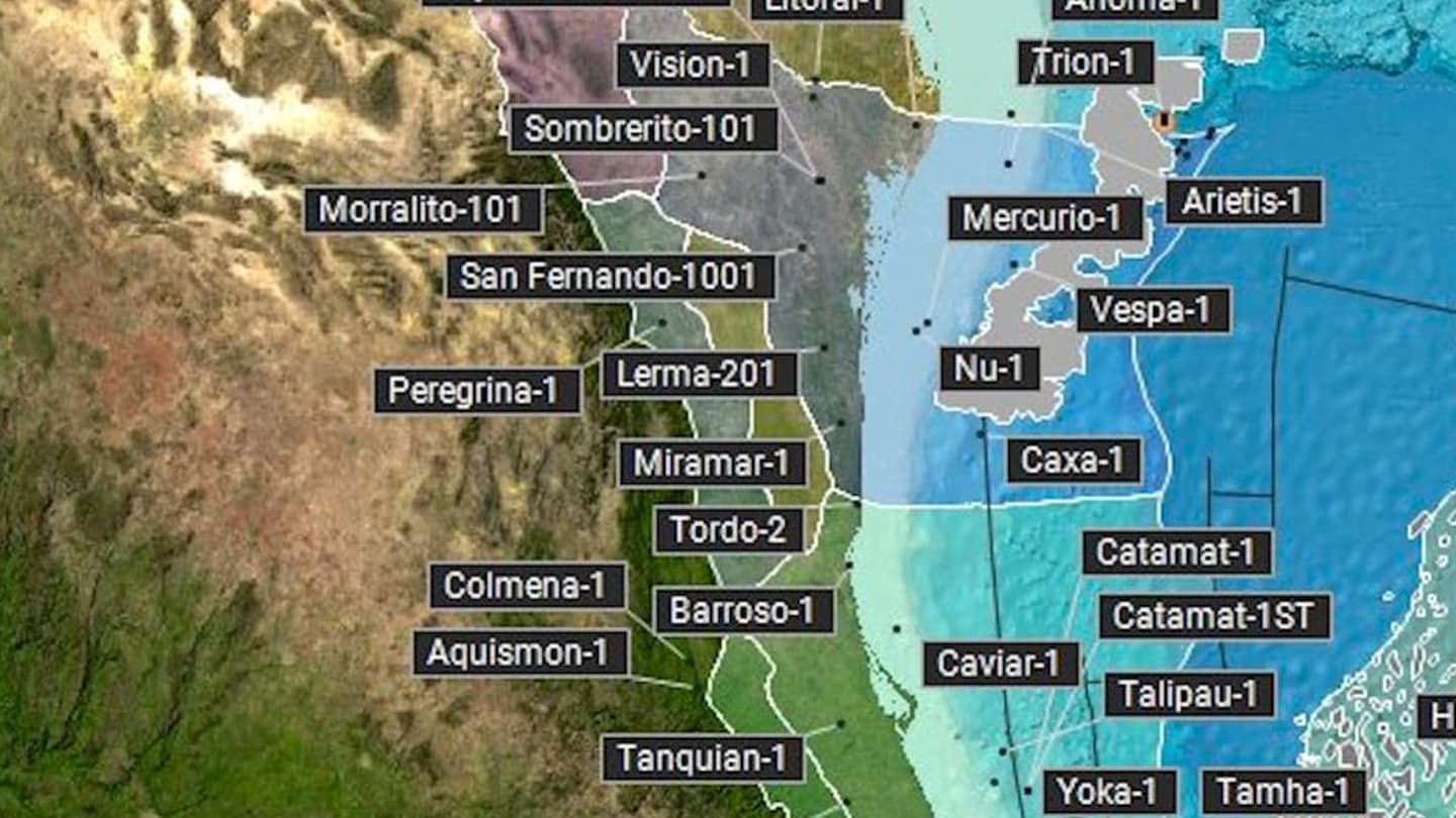
Explore your data sets on any device. Switch between layers, see your live location, highlight threshold exceedances, and more.Analyze
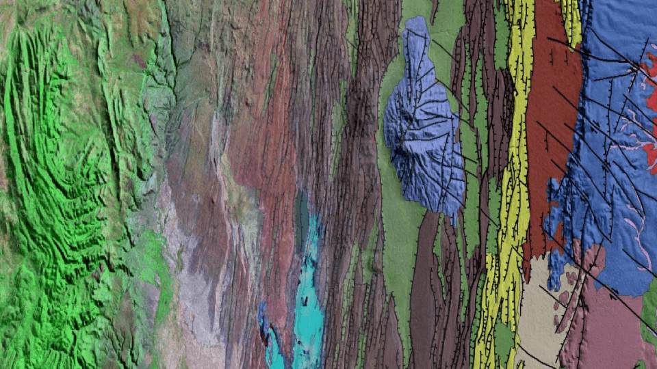
Apply custom functions to your data set, view statistics and interrogate time series, filter data spatially and export graphs, tables & images.Visit our blog to learn more about our satellite mapping activities
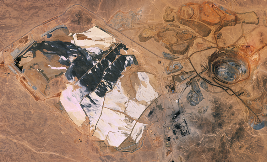
Read more about our unique models, mineral system-controlled deliverables and expert minerals and mining consulting service