MineScope
Make smarter decisions throughout the mining life cycle
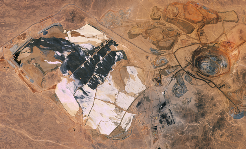
MineScope provides remote, satellite-derived intelligence across mine sites to help mining companies, specialists and consultants make smarter geological, geotechnical and safety-related decisions throughout the mining life cycle. MineScope consists of a comprehensive suite of data solutions that improve exploration efficiency and situational awareness by helping to reduce risk during the planning, auditing and monitoring of mine operations and legacy sites.

Exploration, operation and closure
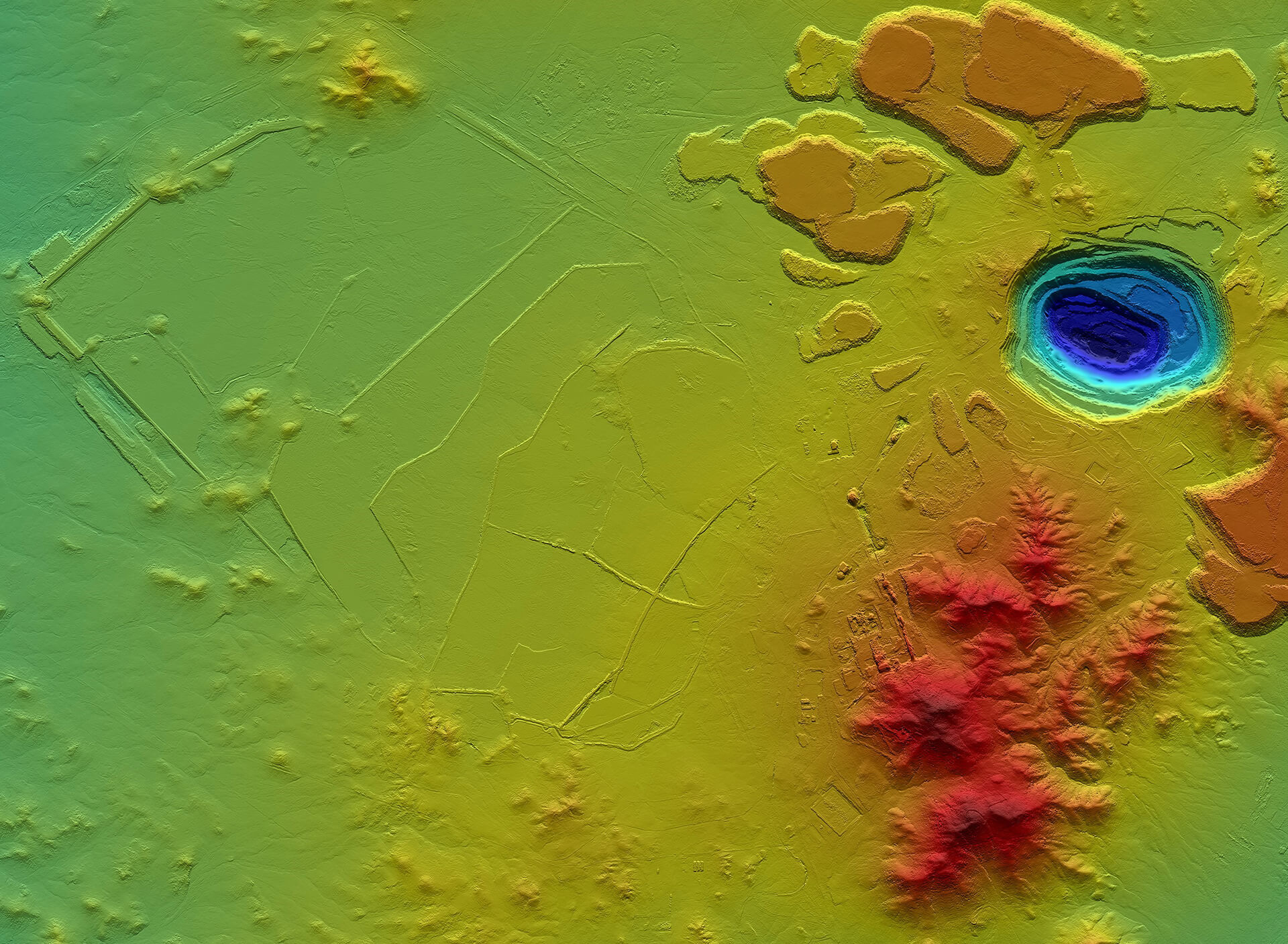
For exploration activities, our mineral mapping expertise identifies potential mineral reserves prior to field-based reconnaissance and validation, saving significant time and risk in the earliest stages of a mining project. For “pit-to-port” operations, our clients benefit from the widest range of satellite imagery and topographic data available today, as well as unique intelligence to help them audit their operations including pit and stockpile volume calculations and tailings parameters, and assess evolving risks with ground deformation and slope stability (InSAR) measurements.

Unique range of capabilities
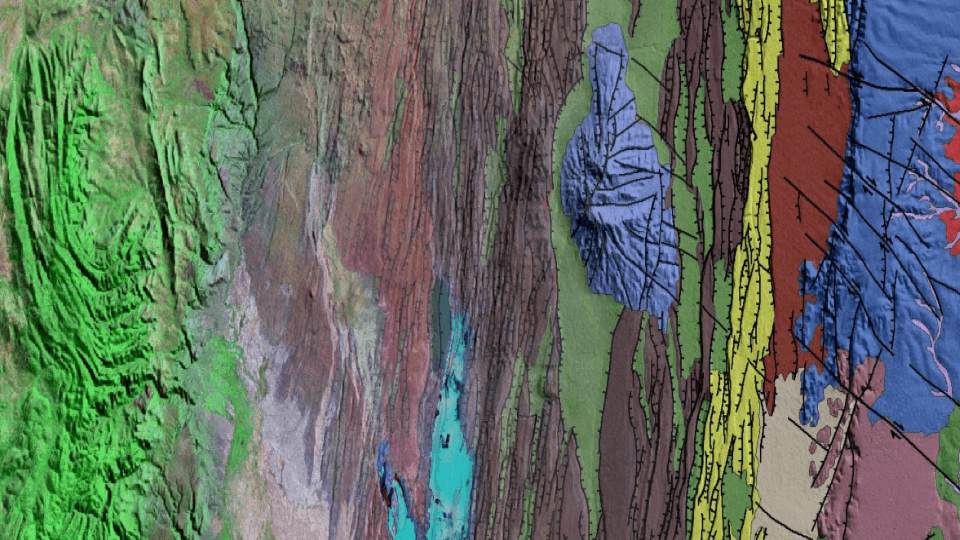
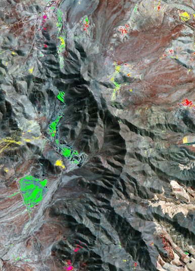
- Mineral mapping: Remote and cost-effective identification of mineral assemblages that may indicate metallurgenic ores
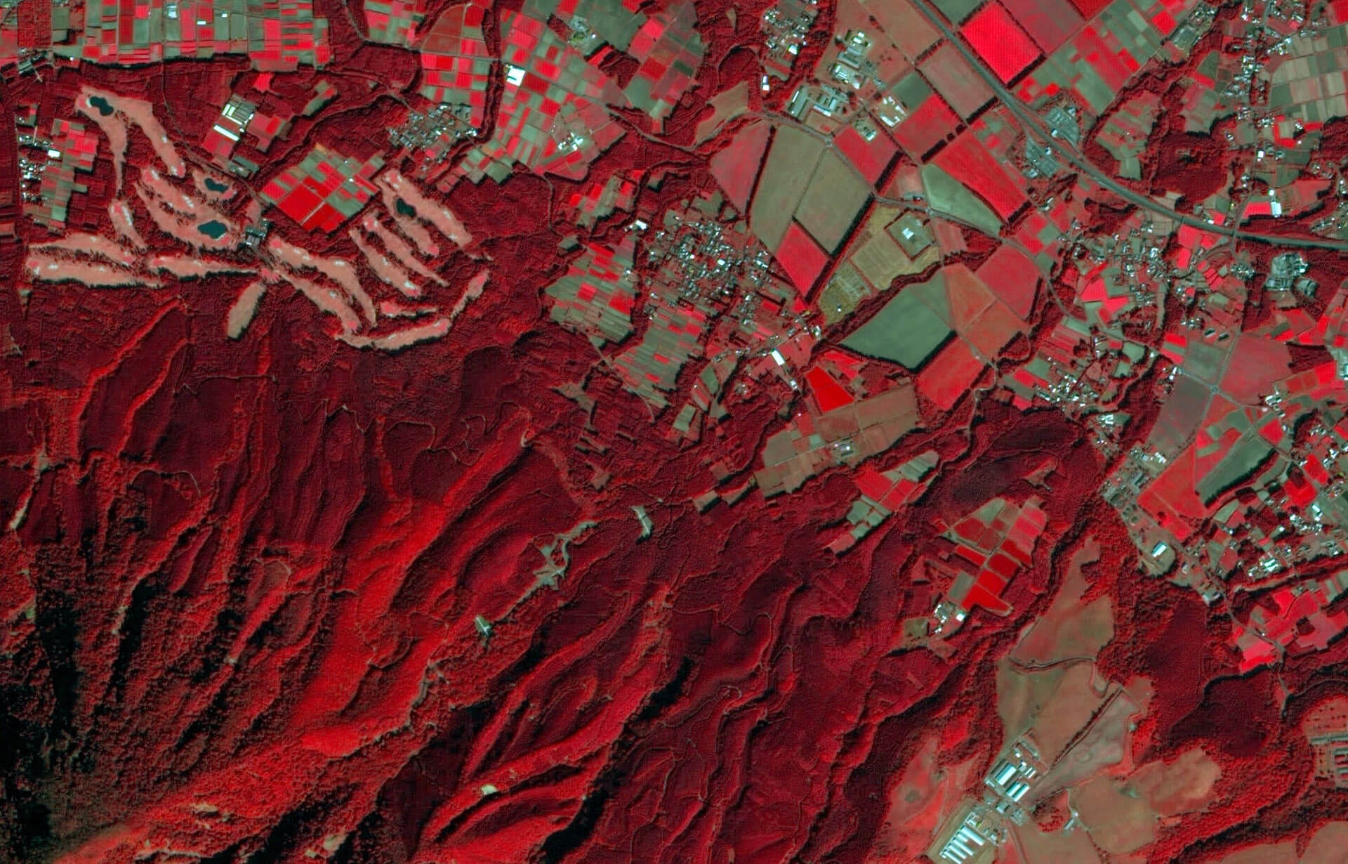
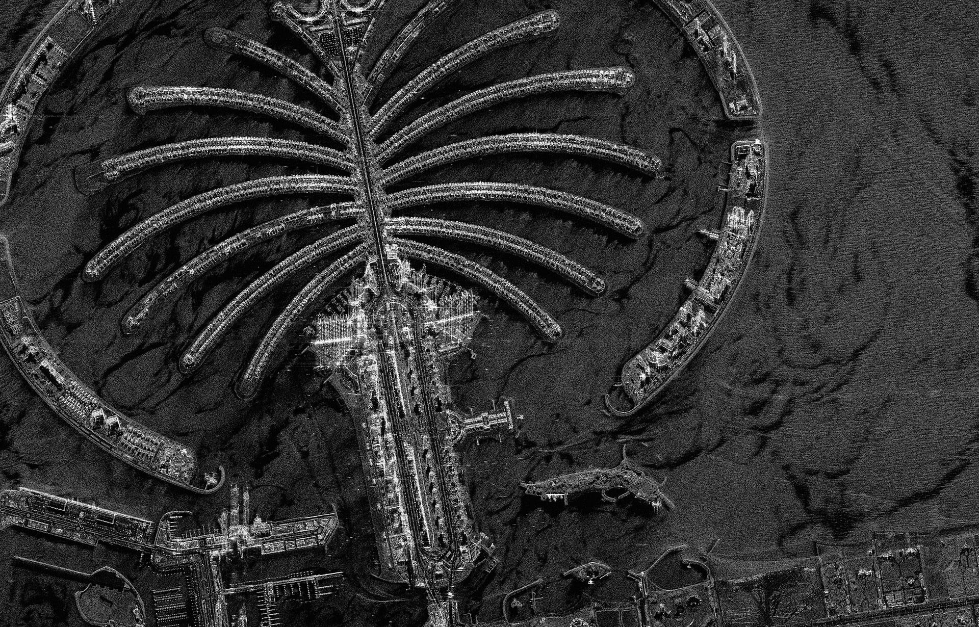
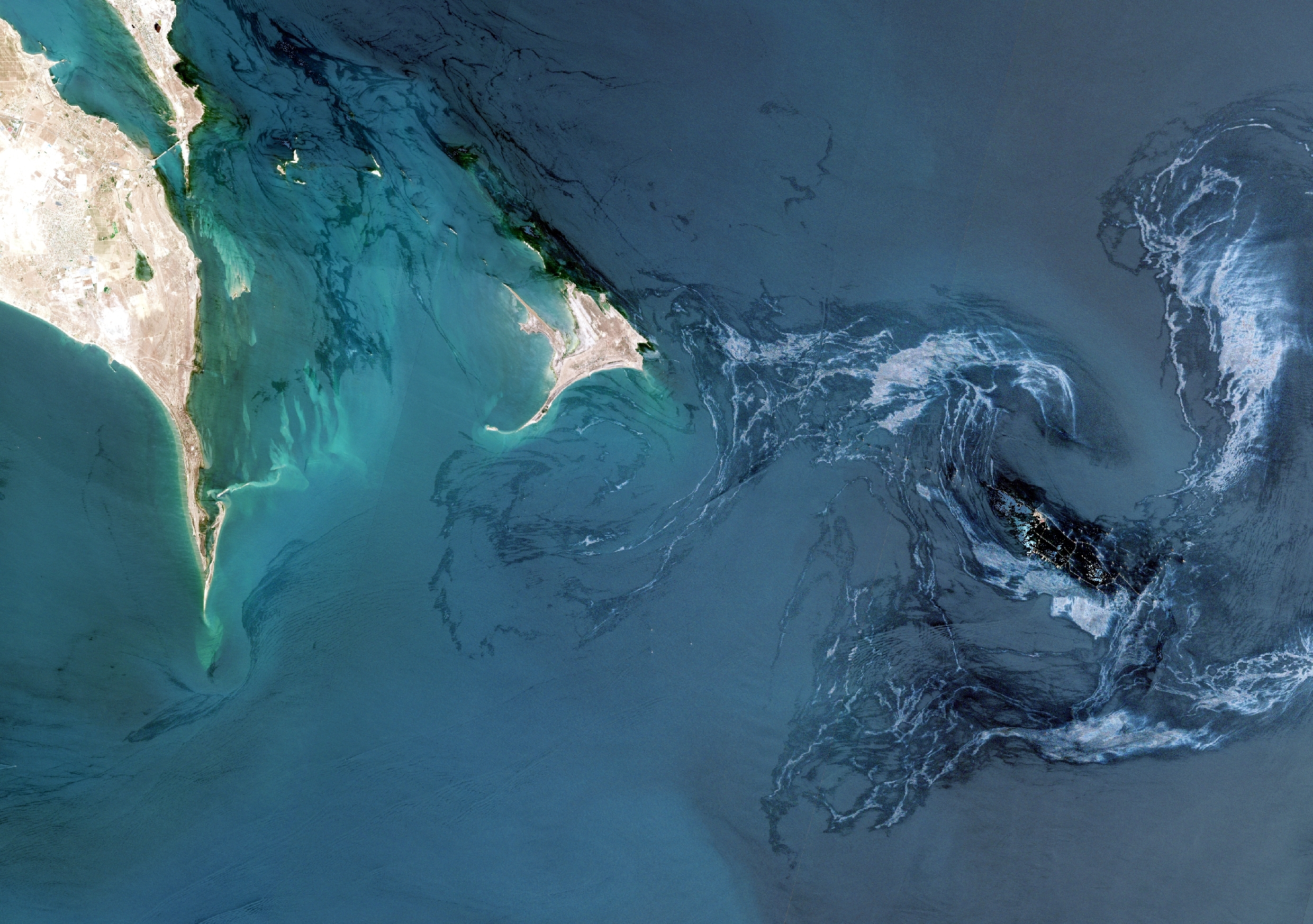
- Satellite imagery: Improved situational awareness from the widest choice of multi-mission optical satellite imagery
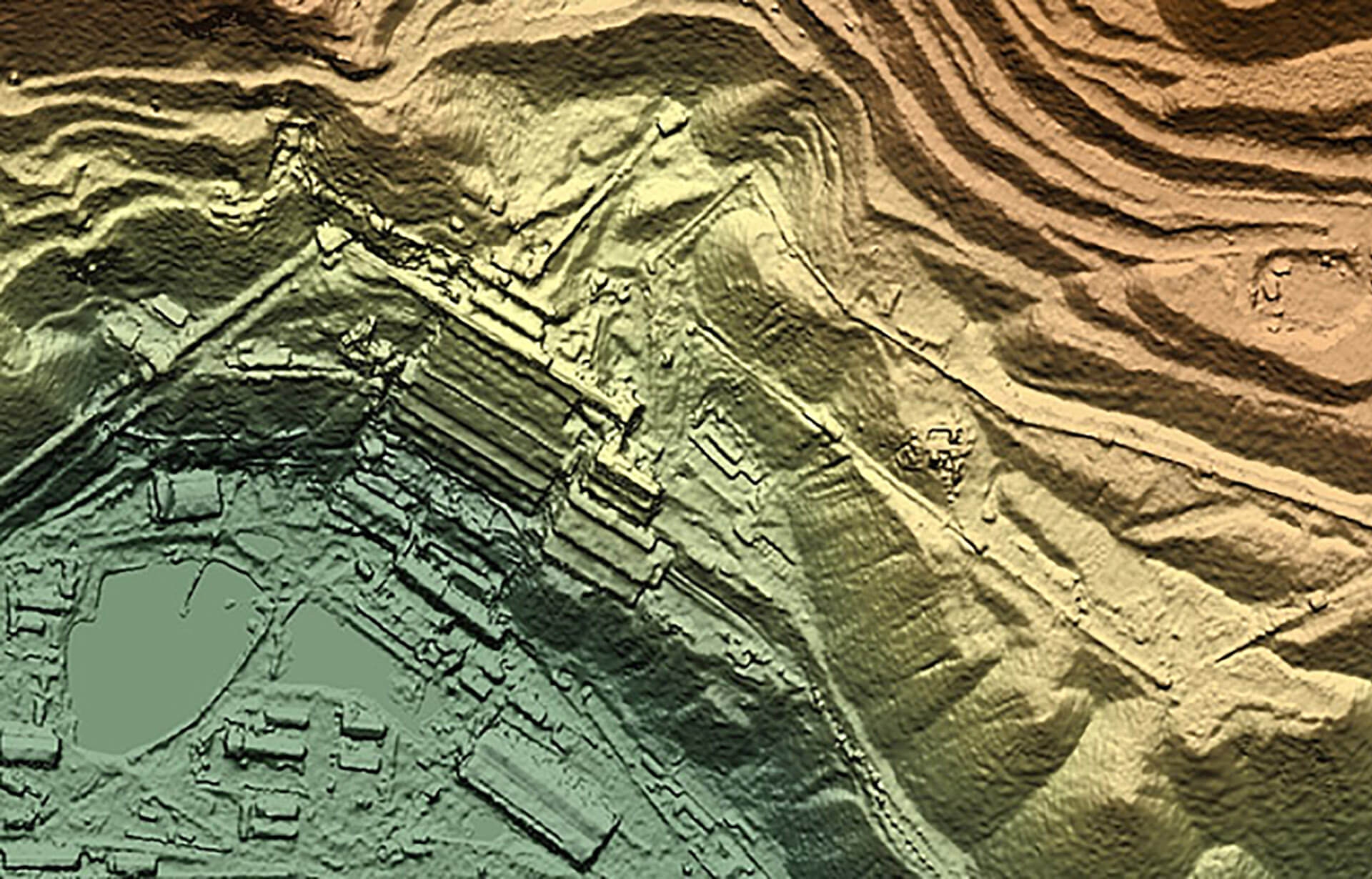
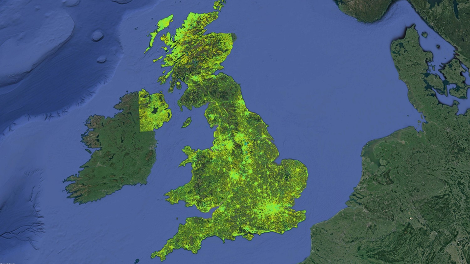
- Topography: Detailed topographic mapping over wide areas at high resolution
- Volumes: Auditable tailings, waste and stock-pile volumes for your operations
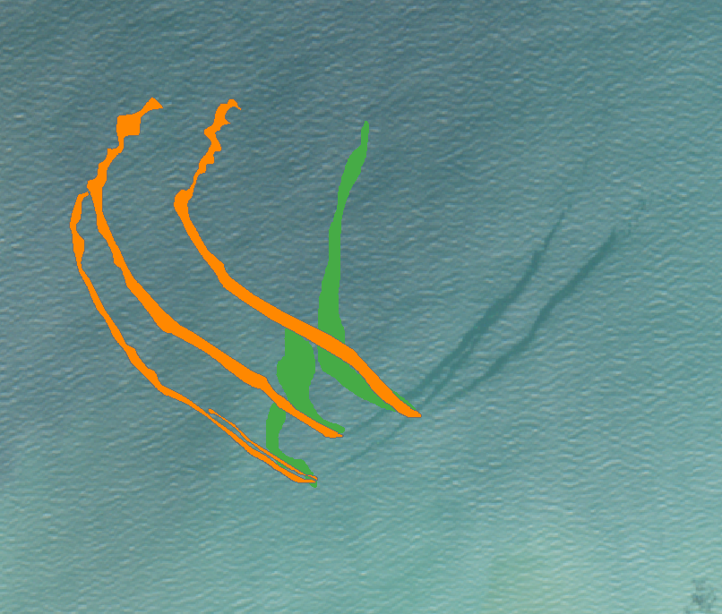
- Tailings profiling: High-resolution imagery to track evolving tailings management parameters (e.g., beaches, freeboard, decant pond water extents)
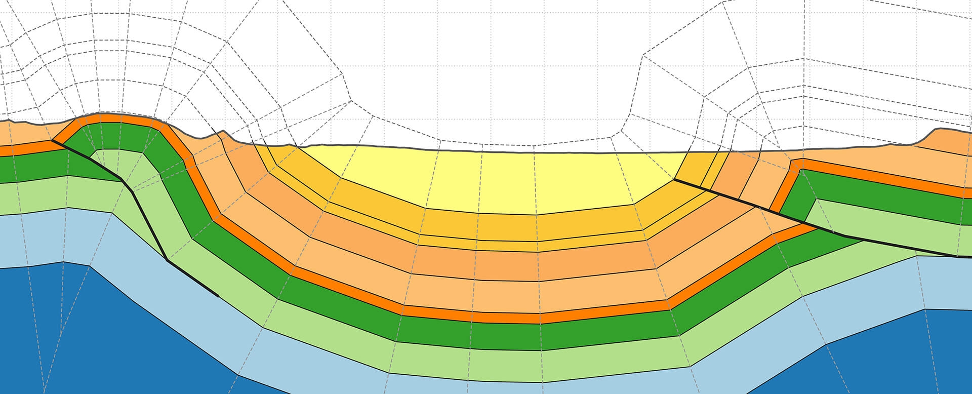
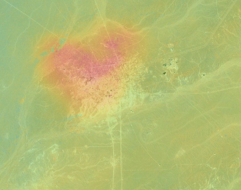
- Slope stability and ground deformation: Precise mapping and monitoring the stability of mine caverns, pits, tailings, infrastructure and geohazards; optimization of ground-based sensors, monitoring and remediation

Why clients choose MineScope
- Single access point for complementary MineScope data layers
- Improve efficiency, situational awareness and safety throughout the mining life cycle
- Reveal, target and monitor precursor ground deformation related to hazards
- Unbiased advice on the most suitable satellite imagery for your site
- Timely access to consistent and complementary data sets
- Comply with tailings disclosure activities and the new global tailings standard

