


MotionMap UK
Ground stability. Revealed.
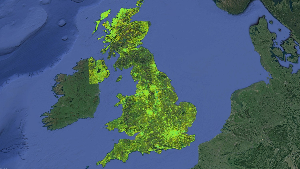
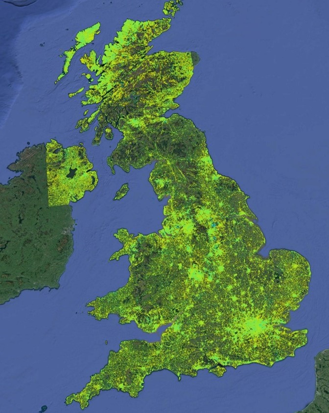
MotionMap UK is a national database of high-precision ground stability measurements that reveals millimeter-scale changes in ground and building heights across the United Kingdom. Generated using state-of-the-art satellite InSAR data processing, MotionMap UK gives geologists, engineers and surveyors unique insight into the location, extent and evolution of ground stability hazards across the country.
From desk-based studies and planning to site permitting, surveying, ground investigations and monitoring, MotionMap UK ensures hazards are understood prior to potentially costly, intrusive and risky fieldwork. Unique capabilities include remotely derived millimetric-precision measurements, full deformation time series and routine updates to capture “live” and evolving deformation phenomena.

Why choose MotionMap UK?
- On-demand access to UK-wide data
- Ability to reveal, target and monitor hazard hotspots
- Unparalleled insight into geological and man-made hazards
- Optimization of survey campaigns and minimized HSE exposure
- Range of products and purchase options for different requirements and budgets
In 2008, we pioneered the world’s first commercially available national coverage InSAR data set, and the evolution of MotionMap UK that is available today continues to be the benchmark data set for property conveyancing, environmental reporting and civil engineering clients looking to obtain industry-leading insight into contemporary ground stability across the United Kingdom.