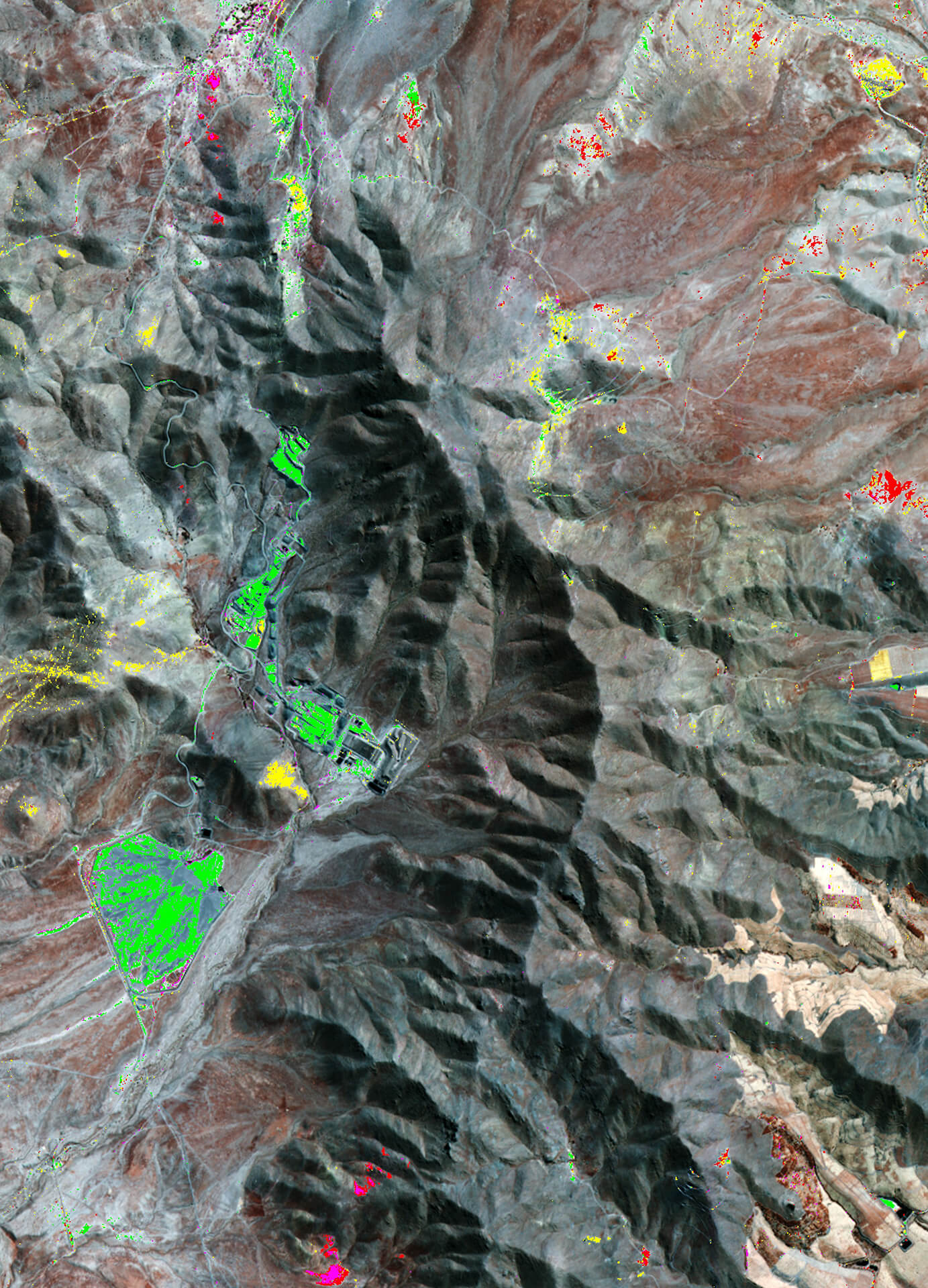
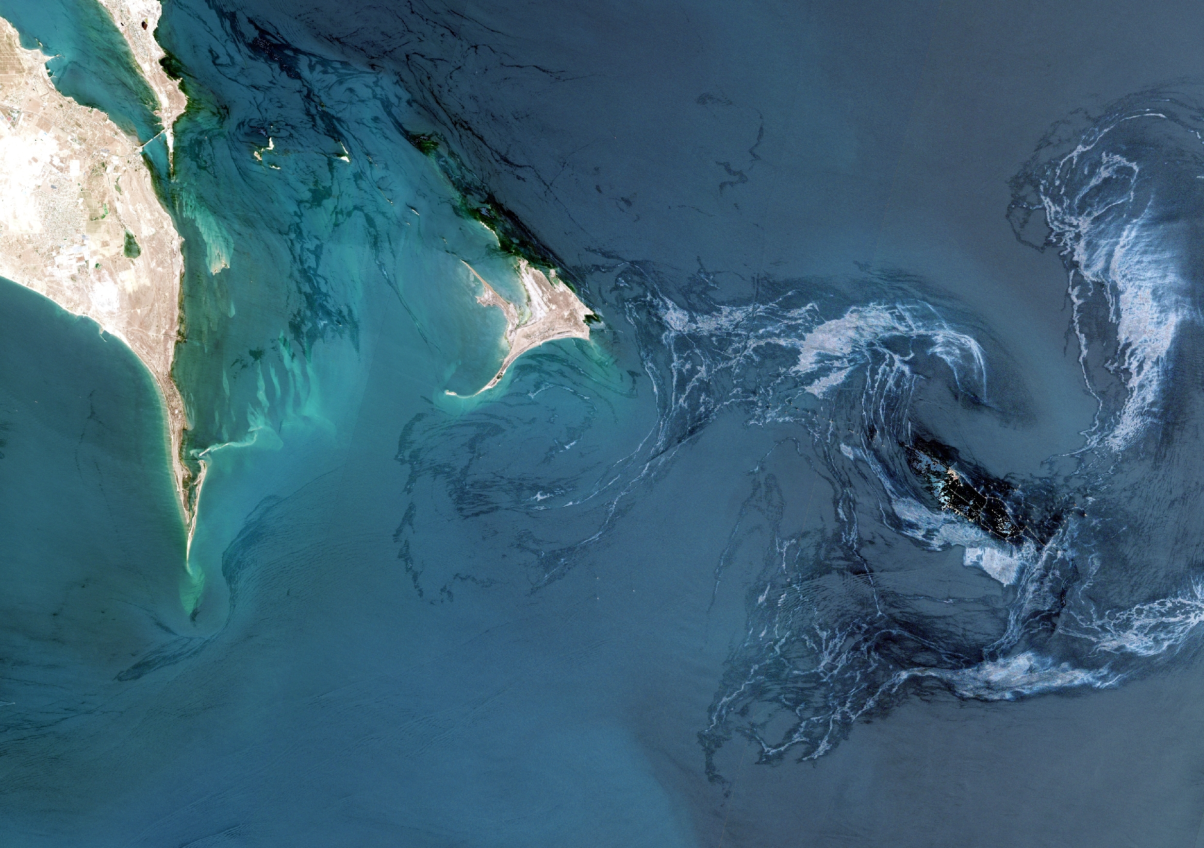
Sorry, you need to enable JavaScript to visit this website.

Mineral Mapping

Identify promising targets for future mining operations

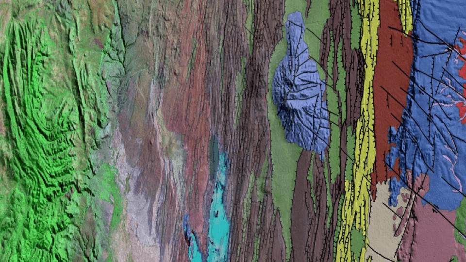
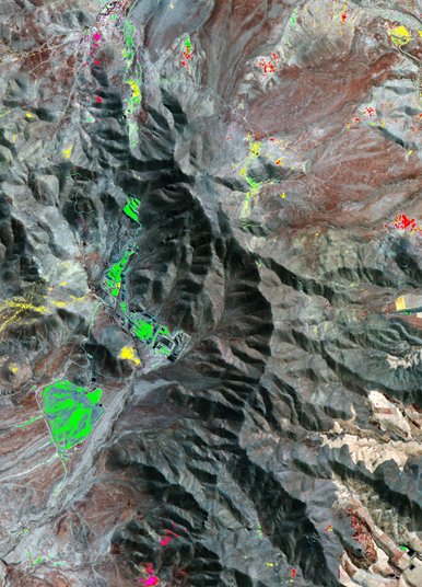
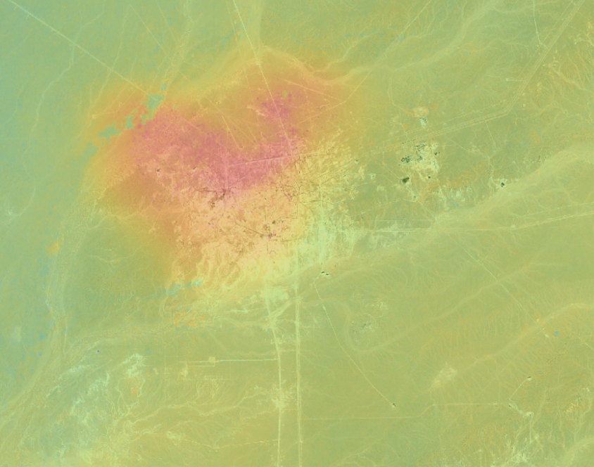
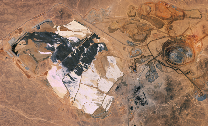
Mineral deposits occur in a wide variety of geological settings. The ability to focus upon discrete geologically valid areas saves mining companies valuable time and resources; unique spectral and spatial information contained within satellite imagery, alongside advanced image processing and extensive mineralogical understanding, strengthens knowledge of a study area.

We deliver geospatial data sets that reveal lithological variations and alteration. In combination with our structural mapping, we identify zones of extension where mineral-rich hydrothermal fluids focus and precipitate. When available, complementary geophysical and geochemical data is integrated to further validate the geological story. Our mineral mapping supports clients in identifying the most promising targets for follow-up fieldwork. With global, multi-scale experience from regional reconnaissance to detailed mine-site surveys and on-the-ground validation, our mineral mapping is customizable to meet unique project requirements.

Mineral mapping

More Satellite Mapping Products & Services

Optical Satellite Imagery

Get the highest quality satellite images and best processing options from CGG, an independent supplier for satellite operators.

Radar Satellite Imagery

Access high-quality radar satellite images with the best processing options from CGG, an independent supplier for satellite operators.

Satellite Elevation Data

Obtain the highest quality satellite elevation data and best processing options for topographic mapping and monitoring operations.

Seepage Detection

Reduce exploration risk by identifying seepage and oil or gas accumulations from which the seeps originate.

Geological Mapping

Minimize your risk with our geospatial database and global insight into regional and local surface structure and lithology.

Geological Cross-Sections

Take advantage of extensive geological expertise and state-of-the-art software to validate geological interpretations and de-risk models.

Mineral Mapping

Identify the most promising targets for follow-up field work using our mineral mapping services.

Oil Spill Detection & Monitoring

Mitigate oil spill risk associated with operating in the marine and coastal environments with our unique and independent insight.

InSAR

Reduce risk and improve planning with cutting-edge InSAR solutions that deliver remote intelligence on surface deformation.

MotionMap UK

Get insight into location, extent and evolution of ground stability hazards across the United Kingdom.

MineScope

Make smarter geological, geotechnical and safety-related decisions with remote, satellite-derived intelligence across mine sites.

Share Link
LinkedIn icon Facebook icon Twitter icon