Geological Mapping
Reduce exploration risk with expert geology interpretation
Our geological mapping supports clients in identifying the most promising onshore exploration targets, helping to optimize future seismic surveys, drilling, field sampling and environmental bench marking.
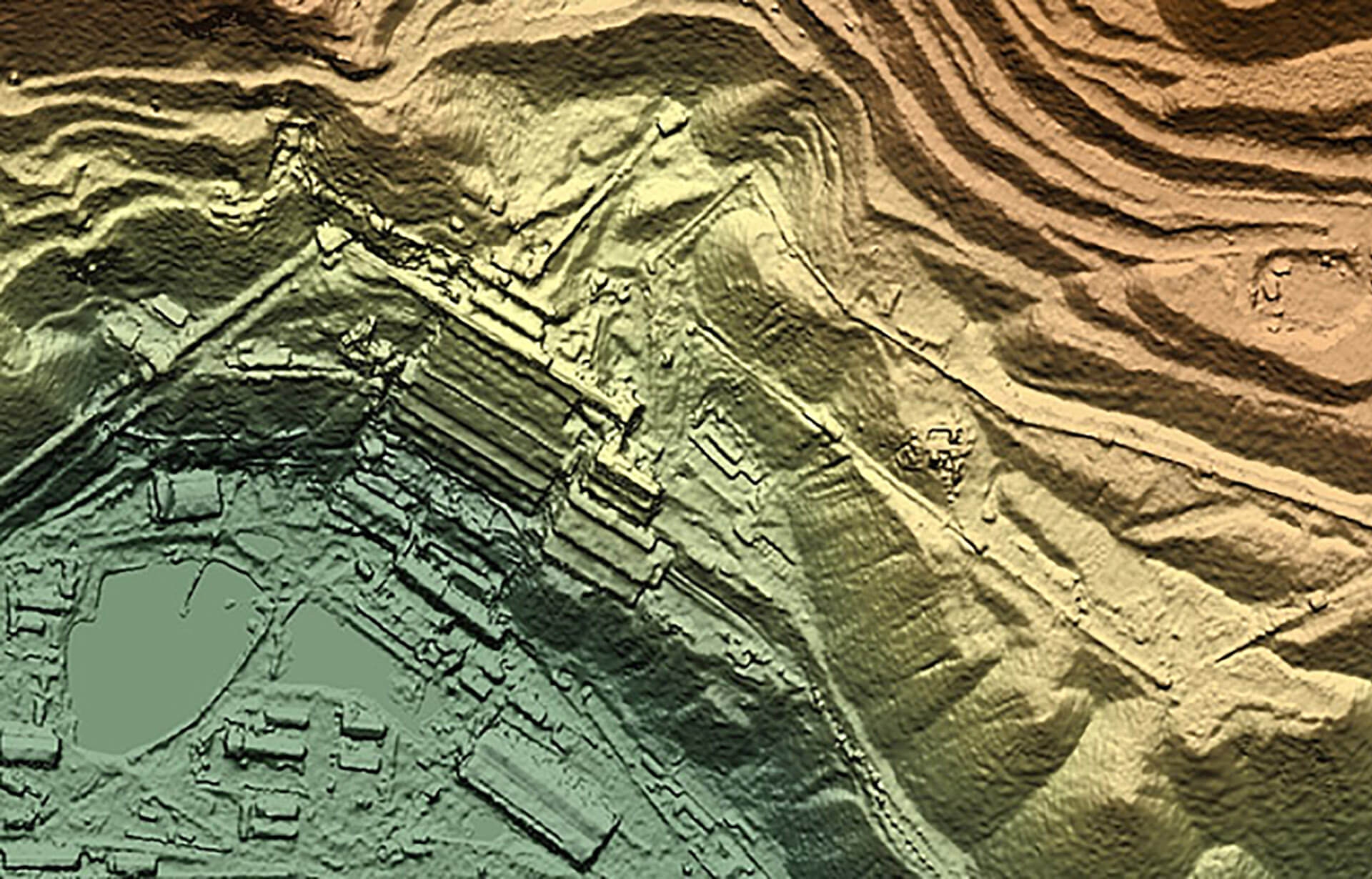
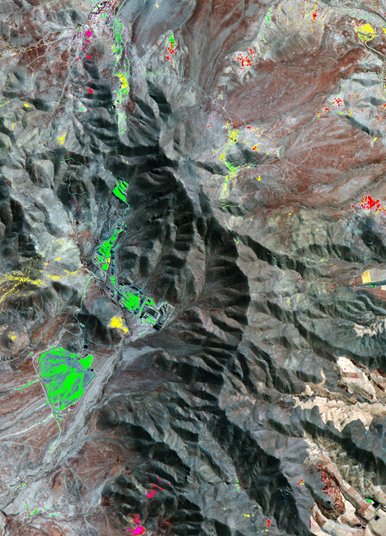
We combine the spatial, spectral and textural information contained within satellite imagery and elevation data, with our extensive geological expertise, to strengthen knowledge of onshore geological settings, and even improve the understanding of adjacent offshore areas.
The scarcity, varied specification and quality of existing geological maps pose a significant hurdle to exploration teams. In contrast, our expert geological interpretation delivers accurate surface geology maps that are easy to use, interrogate and integrate.
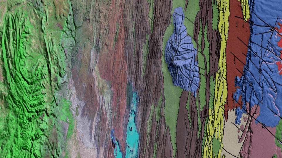
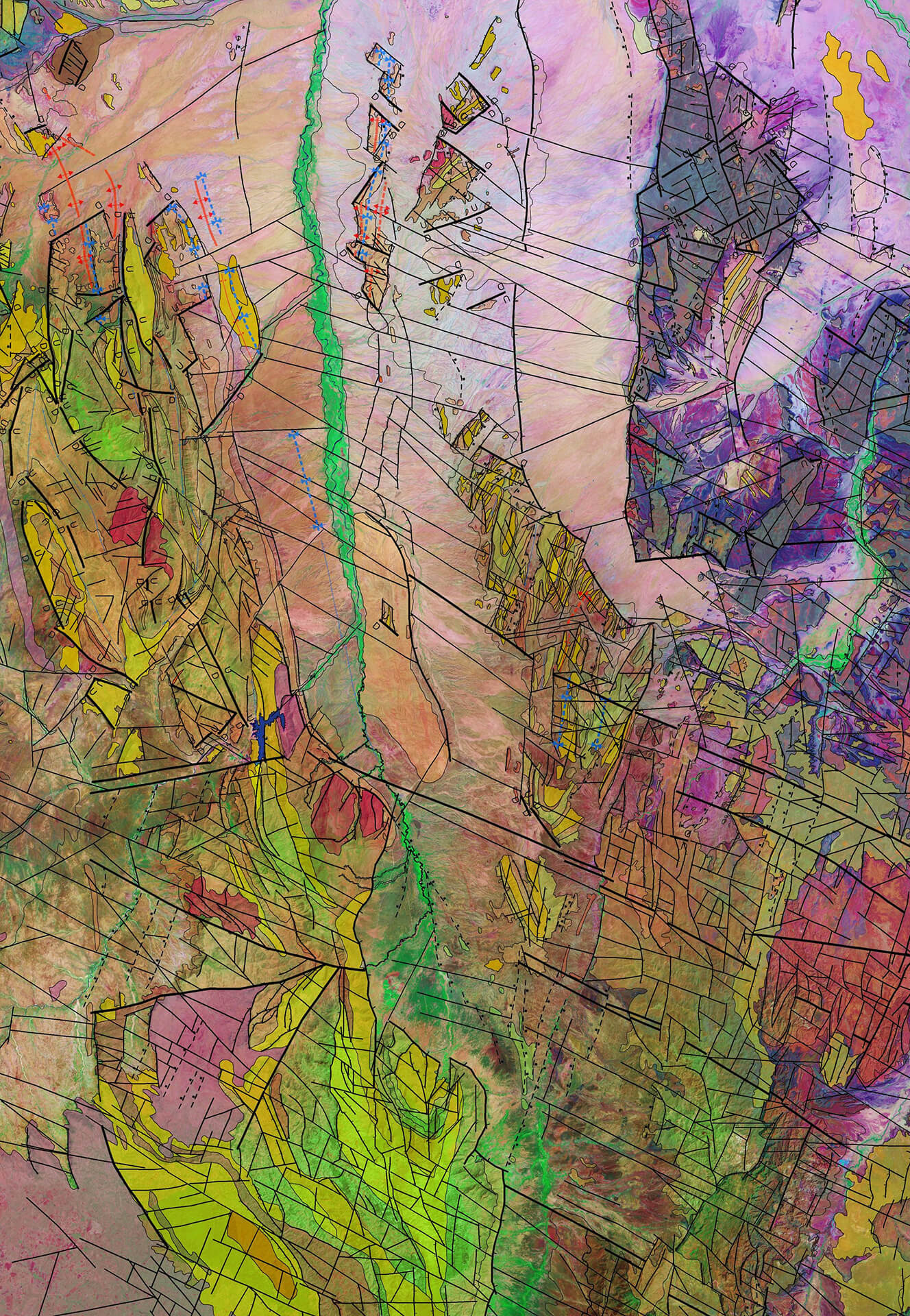
With global experience, we deliver accurate insight into surface structure (such as faults, folds and dips) and lithology, from regional (1:1,000,000) to local (1:2,000) scales.

Proprietary license block studies
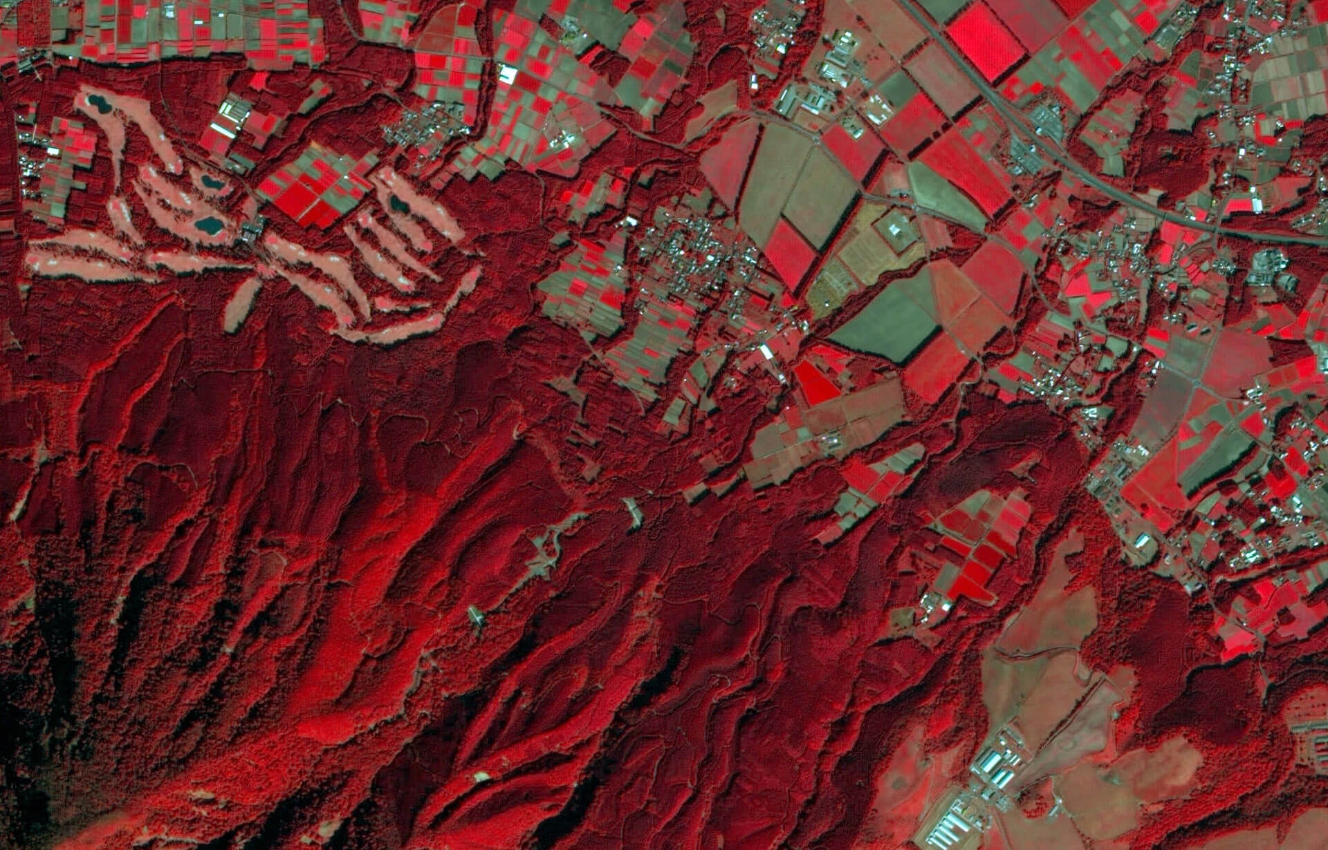
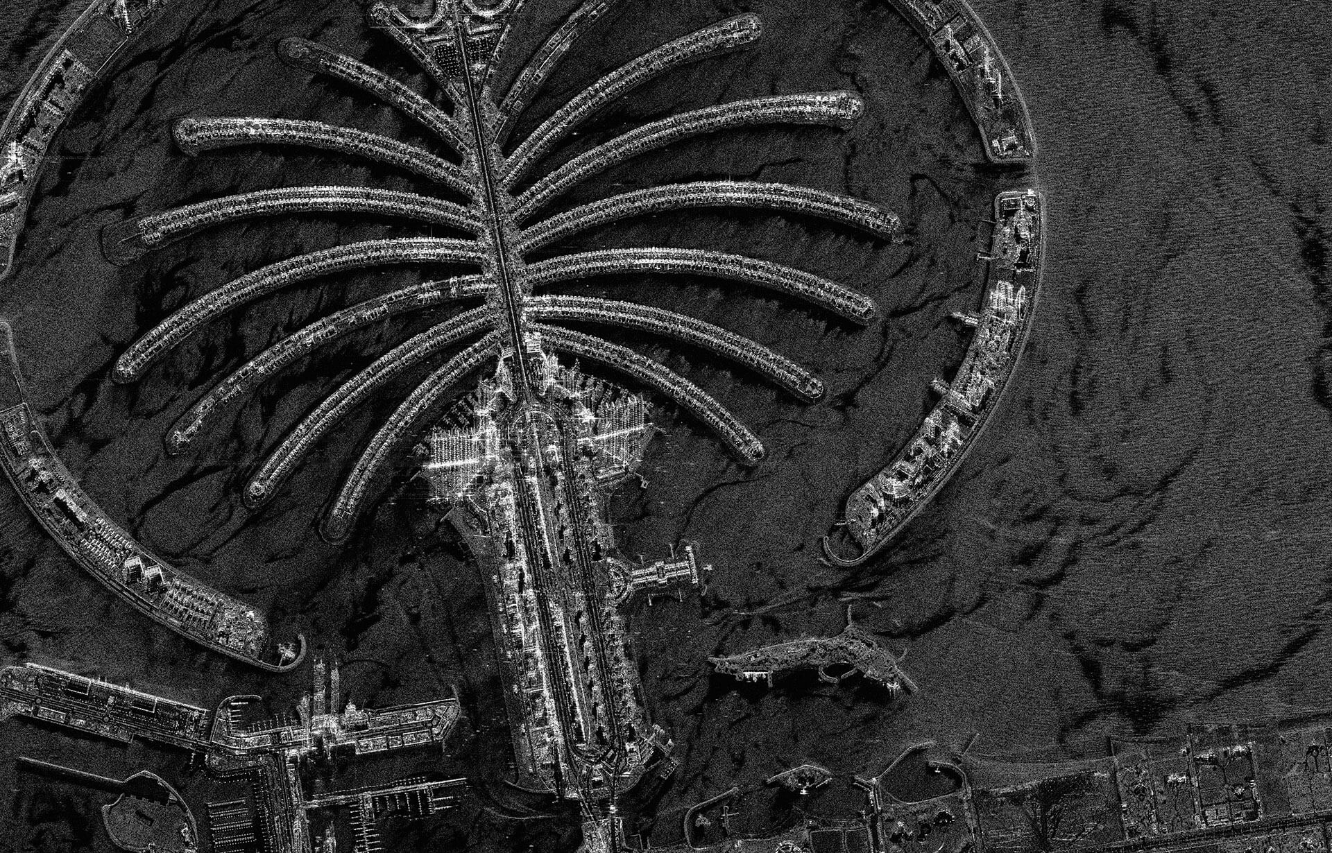
We perform license block geological studies using available optical and radar satellite imagery and elevation data. Our core geological interpretation can be complemented by derived geographical information, making the mapping relevant to both exploration and development activities.
Example geological layers:
- Structural geology
- Stratigraphy
- Geomorphology
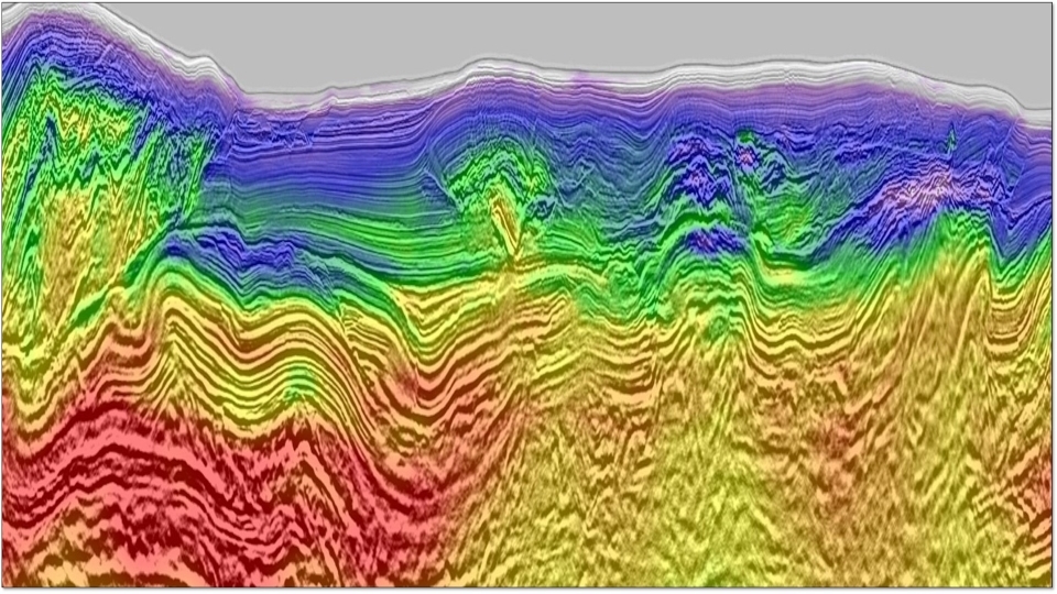
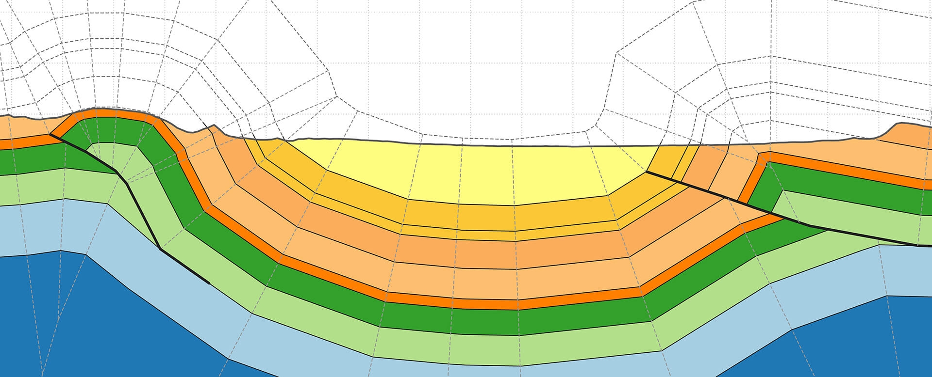
- Balanced cross-section
Example complementary geographical layers:
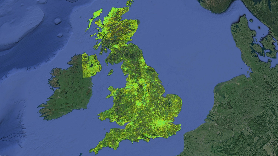
- Land cover (e.g., infrastructure, vegetation, water bodies)
- Hazards and terrain type
- Change detection
Geological study catalog
We hold a unique archive of geological studies completed over the past 30 years, spanning many regions of the globe at a variety of scales. These multi-client products are available to license today.
Multi-client studies include:
- East Africa at 1:200,000 scale
- South East Asia at 1:200,000 scale
- Kurdistan at 1:100,000 scale
Onshore seepage
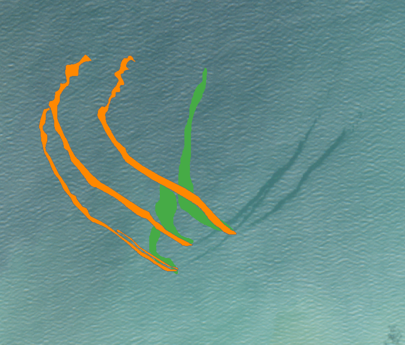
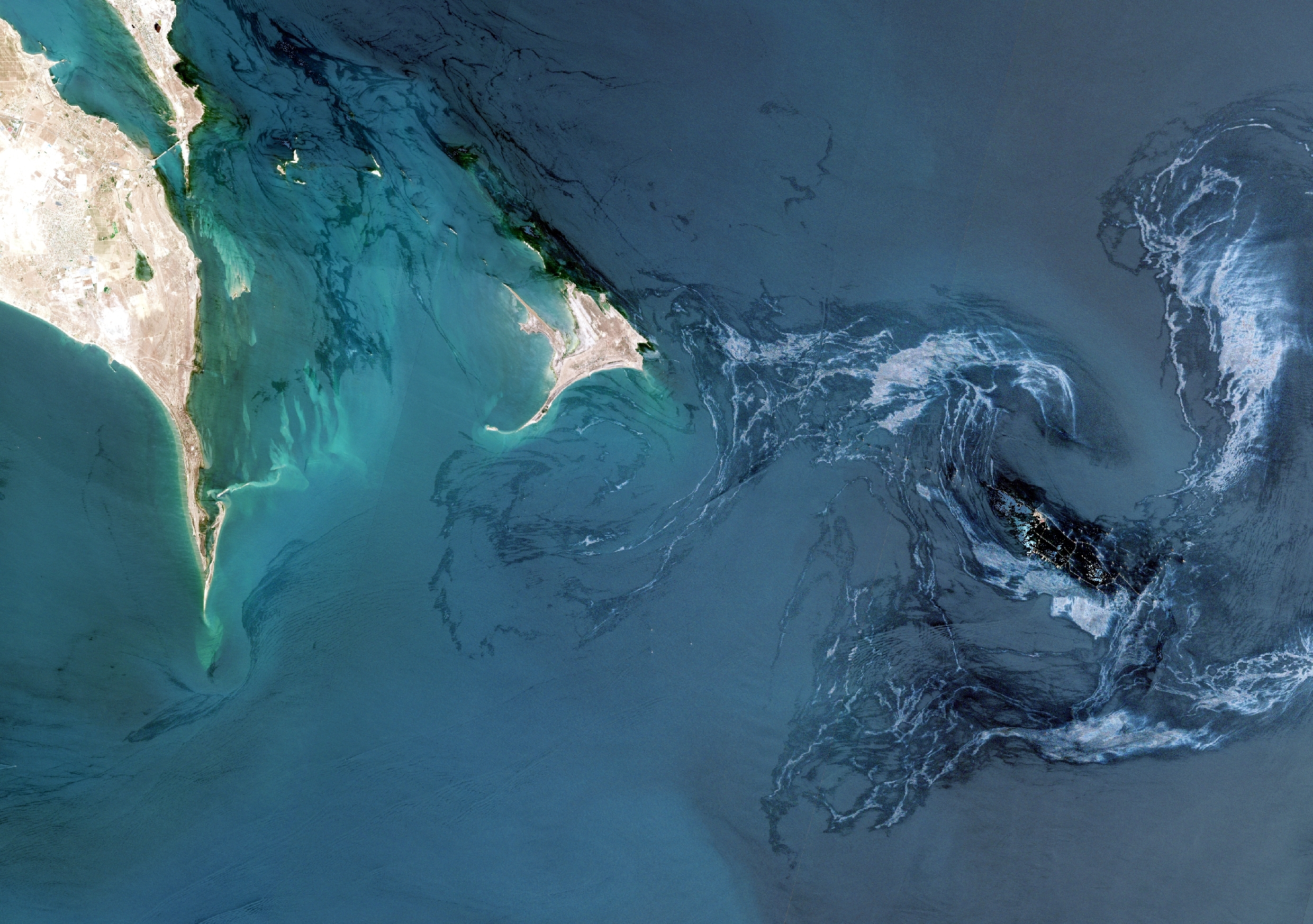
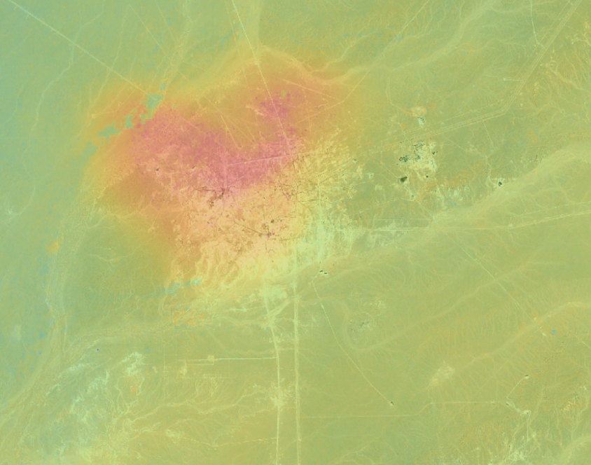
Directly detecting seepage from satellite imagery is challenging due to target signatures being highly controlled by local geology, topography and environmental conditions. We use multiple data sets to identity micro-seepage-related alteration and combine with structural and lithological mapping to high-grade potential sites.
