Kwanza Basin & Lower Congo Basin, Angola
Evaluate exploration hotspots with 3D broadband seismic data, Kwanza and Lower Congo Basins, Angola
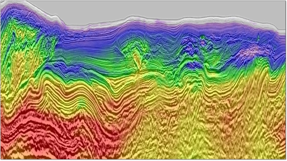
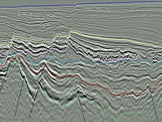
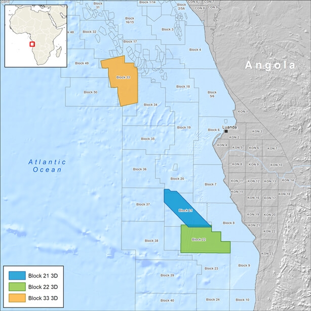
Confidently explore prolific offshore Angola basins with CGG broadband seismic data that helps accurately map turbidite channels and sands trapped beneath salt structures. Our surveys bring more insight to the deepwater Kwanza Basin, Angola, which contains the recent pre-salt Cameia-1 discovery with billion-barrel potential, plus a much larger hydrocarbon column of more than 500 meters in a series of stacked reservoirs. We also offer a reprocessed 3D survey for the promising Lower Congo Basin, a prolific deepwater oil province with significant discoveries and fields.
Highlights
- 3D BroadSeis™ broadband technology with low frequencies to penetrate pre-salt and high frequencies for high-resolution shallow imaging
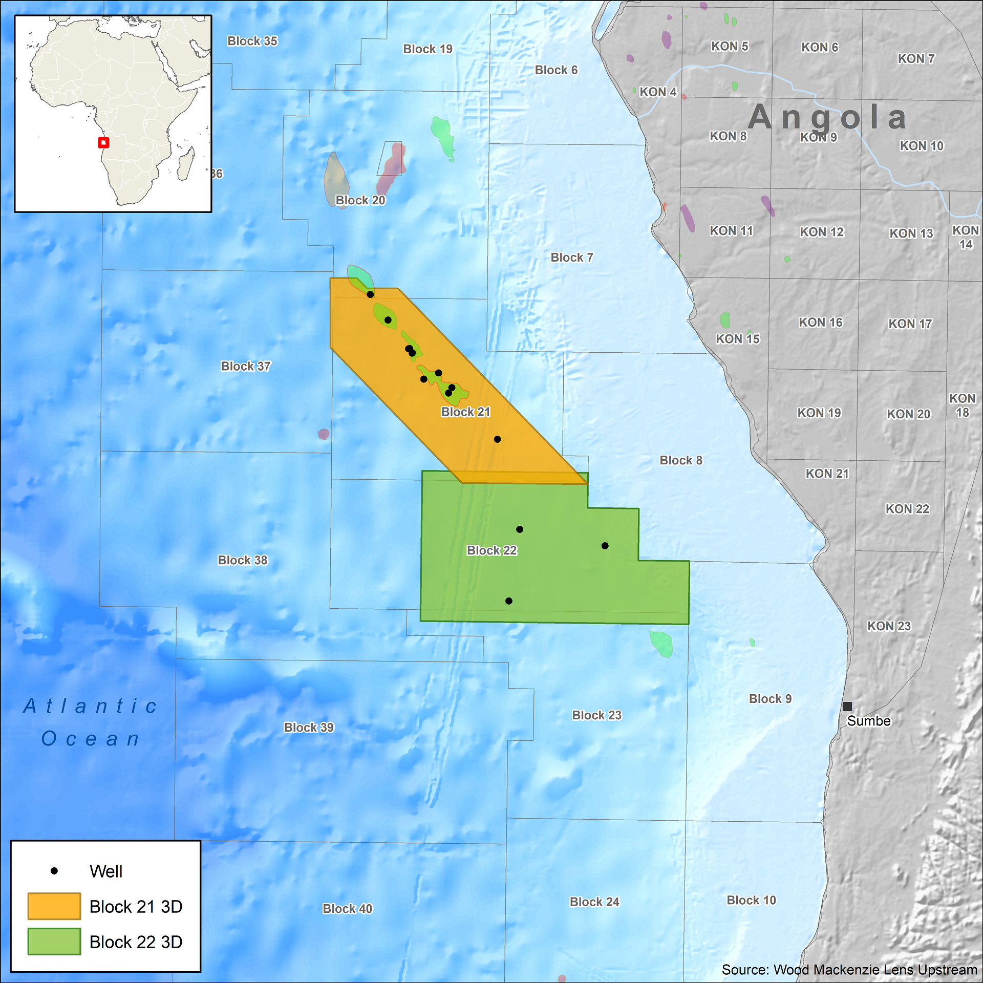
- Total data coverage over 11,800 square kilometers: 7,215 square kilometers of 3D coverage for Kwanza Basin (including highly prospective Blocks 21 and 22) and 4,380 square kilometers of reprocessed 3D data covering the unlicensed Block 33 in Lower Congo Basin
- Data provides coverage of hot spots including the recent Cameia-1 discovery in Block 21 and Block 33 acreage adjacent to the Dahlia and Girassol fields
Request a Shapefile
Learn more about our multi-client library coverage. Request a zipped shapefile (.shp) for your region of interest.
Related Technology & Surveys
BroadSeis
Identify reservoir attributes with highly detailed broadband subsurface images that enable enhanced deep penetration.
Angola
Gain insight with 3D broadband surveys covering prospective Kwanza Basin and reprocessed 3D seismic for Lower Congo Basin.
Gabon
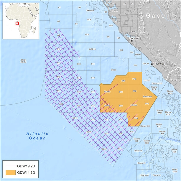
Explore Gabon’s prospective South Basin with 3D broadband multi-client seismic data and complementary long-offset 2D data.
Explore available multi-client data using our interactive map.
Explore the GeoStore