Gabon South Basin
Evaluate prolific pre-salt potential with 2D and 3D seismic
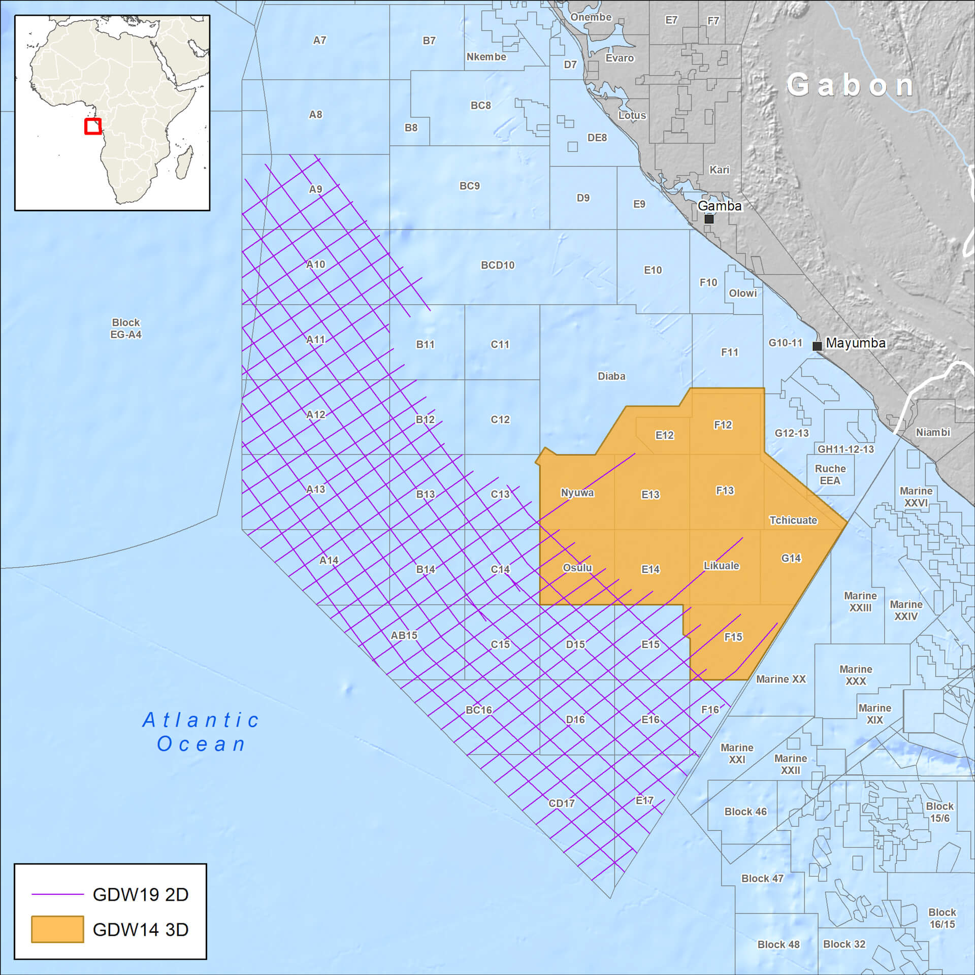
Gain valuable insight into Gabon’s prospective South Basin using data from our extensive high-end multi-client portfolio. We have worked directly with the DGH to evaluate the region, offering extensive 3D broadband seismic data covering key pre-salt acreage and complementary ultra-deep-water long-offset 2D data.
Our optional geoscience package integrates geological knowledge, well and gravity data with the seismic data, as well as advanced imaging to evaluate offshore petroleum systems supported by regional interpretations and reports.
Highlights
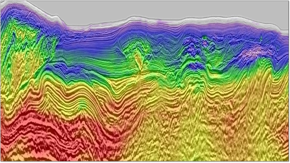
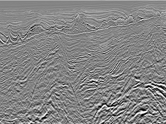
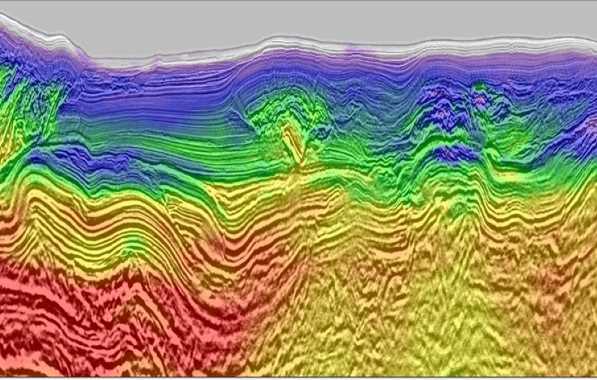
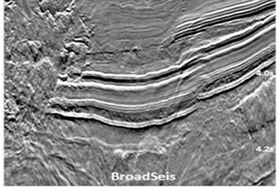
- Over 25,000 square kilometers of 3D broadband seismic data featuring BroadSeis™ acquisition and an advanced depth-imaging workflow using an FWI velocity model to define full extent of plays and source rock maturity
- Additional area of multi-azimuth coverage with 15 kilometers offsets to enhance pre-salt imaging
- 9,795 kilometers of long-offset 2D data for some blocks available in the DGH Gabon 12th Offshore Licensing Round
- Optional integrated geoscience package combining geological, well, gravity and seismic data, plus advanced imaging for extensive quality control
Request a Shapefile
Learn more about our multi-client library coverage. Request a zipped shapefile (.shp) for your region of interest.
Related Technologies
Angola
Gain insight with 3D broadband surveys covering prospective Kwanza Basin and reprocessed 3D seismic for Lower Congo Basin.
Full-Waveform Inversion
Get highly detailed, data-driven models of subsurface velocity, absorption and reflectivity from full-waveform inversion (FWI).
BroadSeis
Identify reservoir attributes with highly detailed broadband subsurface images that enable enhanced deep penetration.
Explore available multi-client data using our interactive map.
Explore the GeoStore