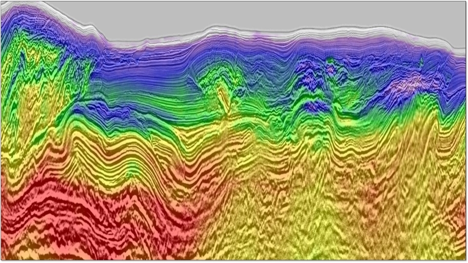
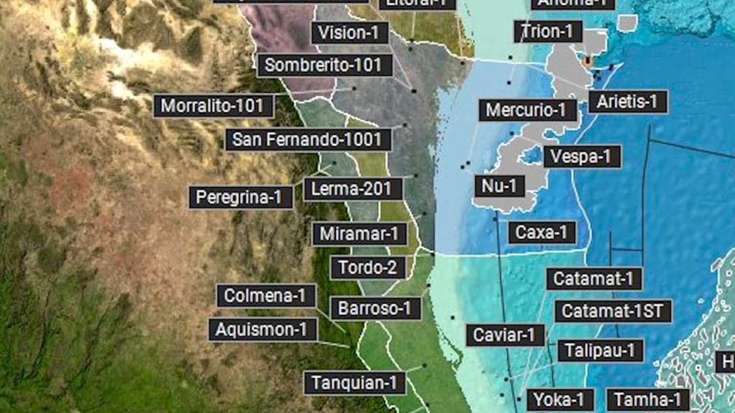
Companies that have worked in the oil and gas industry for many decades have built up a valuable and detailed understanding of the Earth and its subsurface. One such company is CGG, a global geoscience technology and HPC leader that has been collecting and ...
Technical Content
Depth Imaging in North Kuwait: Challenges and Solutions
Depth Imaging in North Kuwait: Challenges and Solutions
We present the main results of a tailored velocity model building workflow on a recent broadband survey from North Kuwait. Depth imaging in Kuwait presents several challenges, including the need to capture the strong velocity variations of a complex near surface that generates long ...
Elastic Land Full-Waveform Inversion in the Middle East: Method and Applications
Elastic Land Full-Waveform Inversion in the Middle East: Method and Applications
Applications of full-waveform inversion (FWI) to land data have proven much more challenging than to marine data. The difficulties are linked to a lower signal-to-noise ratio but also to a greater influ-ence of elastic wave phenomena in these data sets, especially those characterized by ...
Fizz Gas Characterization Through Density Inversion: A Case Study in Deep-Water Sabah
Fizz Gas Characterization Through Density Inversion: A Case Study in Deep-Water Sabah
Fizz gas detection is a critical step in field development as it is often difficult to differentiate it from commercial gas in reservoirs on acquired seismic data. In a shallow reservoir context, it is theoretically possible to observe a fizz gas effect through a ...
High-Resolution Full-Waveform Inversion for Structural Improvement and Prospects Delineation: a Case Study at Haugaland High
High-Resolution Full-Waveform Inversion for Structural Improvement and Prospects Delineation: a Case Study at Haugaland High
The Haugaland High, in the Norwegian North Sea, consists of a layered overburden of sub-horizontal sediments of almost 2km thick which sits on the Cretaceous Chalk. The background velocity regime of these top layers has a low vertical gradient down to the Chalk interface ...
Integrated Reservoir Characterisation of a Permian Rotliegend Prospect
Integrated Reservoir Characterisation of a Permian Rotliegend Prospect
This study aimed to provide greater insight into the question of whether a near-field Paleozoic interval could retain sufficient reservoir quality to be attractive for future exploration. To meet this challenge, an integrated multidisciplinary approach was adopted that brought together detailed geological analysis with ...
Introducing Deep Neural Networks for Ultra-Fast Track Processing: A New Early-Out Product for Qc and Interpretation
Introducing Deep Neural Networks for Ultra-Fast Track Processing: A New Early-Out Product for Qc and Interpretation
To improve the imaging of the Barents Sea’s Nordkapp basin, either in terms of resolution or geological structure, a new seismic acquisition design was proposed, using a widespread hexa-source sitting on top of 18 non-flat streamers. Imaging this new recorded data required specific and ...
Large-Scale 3D High-Resolution Near-Surface Imaging over Nordkapp
Large-Scale 3D High-Resolution Near-Surface Imaging over Nordkapp
The 3700km2 Nordkapp Basin area, Barents Sea, was recently acquired with a wide-spread source-over-spread design. With its 6 sources sitting on top of 18 multi-sensor streamers, one sail-line can record a dense carpet of 108 sublines separated by only 6.25m. By thinly sampling the ...
Optimizing of a Das VSP Image for 4D Assessment at the Culzean Field
Optimizing of a Das VSP Image for 4D Assessment at the Culzean Field
We discuss the processing and imaging solutions designed to assess 4D signal in a monitor Vertical Seismic Profiling (VSP) survey acquired with Distributed Acoustic Sensing (DAS) over the Culzean field, Central North Sea. With a baseline DAS VSP survey acquired during a pilot programme ...


