Côte d’Ivoire, Tano Basin
Unlock the depths of the Tano Basin with CGG’s high-quality 3D seismic
Côte d’Ivoire is becoming a hotspot for oil and gas exploration. Recent discoveries, favorable geological conditions, and government support make it an attractive destination for energy companies. The ongoing exploration efforts point to a promising future for hydrocarbon development in the country. CGG’s advanced 3D seismic dataset is your gateway to revealing the area's full potential.
New and enhanced seismic data
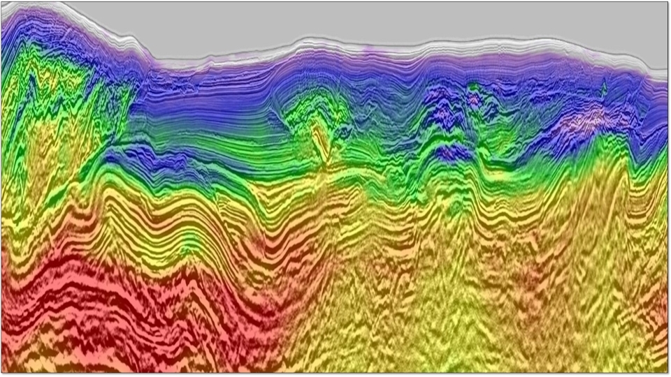
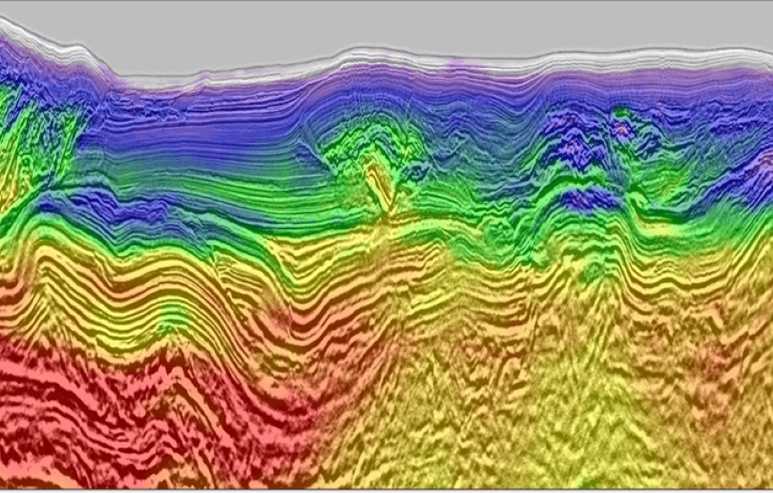
CGG is currently undertaking PSDM reimaging of over 6,400 km2 of seismic data, starting from field tapes and using its latest proprietary technologies. The fast-track volume, completed in March 2024, already shows a significant uplift compared to the legacy data. The final products will be available by the end of 2024, and this state-of-the-art data will present an unprecedented opportunity to reveal further prospectivity that the new carbonate and proven clastic plays hold in the Ivorian side of the Tano Basin.
Building on the early success of our current reimaging project CDI23, CGG, in association with Côte d’Ivoire's Direction Générale des Hydrocarbures (DGH) and PETROCI Holding (PETROCI), is pleased to announce two new multi-client 3D reimaging programs, CDI24 Phase I (3,120 km2) and Phase II (6,610 km2). Both projects are supported by the industry, with Phase I commencing immediately and Phase II planned for H1 2025.
CGG is utilizing its latest proprietary imaging technologies to create a seamless and contiguous total volume of over 16,000 km2, overlapping the recently announced Calao discovery and adjacent to the world-class Baleine field. The aim is to provide the best possible results from legacy 3D seismic to support exploration offshore Côte d'Ivoire.
Highlights
- Extensive coverage: three ongoing multi-client 3D reimaging programs merged to create a seamless and contiguous volume of over 16,000 km2, covering the recent Calao discovery and adjacent to the renowned Baleine field
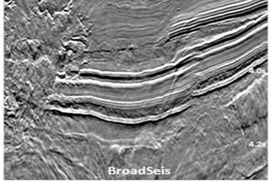
- Unrivaled detail: full-bandwidth data for high-resolution imaging targeting the Cretaceous reservoir intervals
- Additional final data available now: 4,400 km2 of 3D BroadSeis™ BroadSource™ data acquired and processed by CGG in 2014 over the CI-709 and CI-710 blocks, producing full-bandwidth data for high-resolution imaging
- Gravity and magnetic datasets also available

Exploration history and further potential
Exploration in the prolific Tano basin traditionally focused on shallower opportunities in less than 500 m water depth, with a few important discoveries spread along the Ivorian margin. However, the discoveries in deep marine settings, such as Paon, Pelican, and recently Calao, have shifted attention to the more distal region of the basin.
The Baleine field, a few kilometres east of the CGG 3D seismic coverage, represents the largest discovery offshore Africa in 2021 and one of the biggest in the world for that year. Hydrocarbons in place in the Baleine field are estimated to be at 2.5 billion barrels of oil and 3.3 trillion cubic feet of associated gas, according to the recent appraisal program, further increasing confidence in the prospects in this once-overlooked basin.
CGG’s uniquely placed 2024 reimaged data has unmatched potential to further reveal prospectivity in this basin. The recent discoveries (Baleine and Calao) opened the door for a new play concept and shed more light on key questions related to reservoir and source facies.
Cote d’Ivoire 2023 fast-track data reveals spectacular imaging uplift


Request a Shapefile
Learn more about our multi-client library coverage. Request a zipped shapefile (.shp) for your region of interest.
Related Technology & Surveys
BroadSeis
Identify reservoir attributes with highly detailed broadband subsurface images that enable enhanced deep penetration.
Full-Waveform Inversion
Get highly detailed, data-driven models of subsurface velocity, absorption and reflectivity from full-waveform inversion (FWI).
Gabon
Explore Gabon’s prospective South Basin with 3D broadband multi-client seismic data and complementary long-offset 2D data.
Explore available multi-client data using our interactive map.
Explore the GeoStore