Technical Abstract
Imaging Rich Azimuth Towed Streamer Data West of Shetland
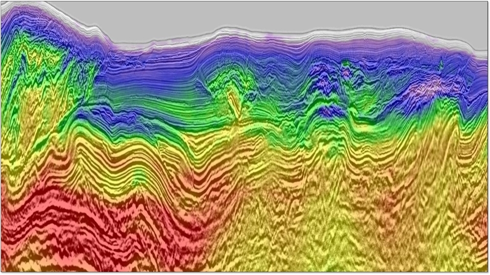
Back to Technical ContentWe discuss the processing and imaging challenges relating to a marine seismic survey acquired northwest of the Shetland Islands. The proximity of the survey to the islands forced the acquisition direction to be strike to the subsurface geology. A shooting vessel provided wide azimuth data to illuminate in the dip direction, and triple sources increased crossline sampling. We show how 3D source designature and source/receiver deghosting were required for this wide azimuth data. For demultiple we illustrate how utilizing narrow azimuth data in water layer multiple modelling was crucial for the wide azimuth multiple prediction. In addition we highlight the benefits of a wave equation deconvolution based approach in this shallow water setting. For velocity model building we show how using time-lag full waveform inversion helped resolve the specific challenges created by the geological setting. Finally we demonstrate how that imaging was aided by the use of least squares migration and the inclusion of the wide azimuth aspect.
Download Resource 
Publications
EAGE - European Association of Geoscientists and EngineersAuthors
Harrison Moore, Simon Drummie, Ewa Kaszycka, Gordon Poole, Krzysztof Cichy


