Technical Abstract
FWI velocity and imaging: A case study in the Johan Castberg area
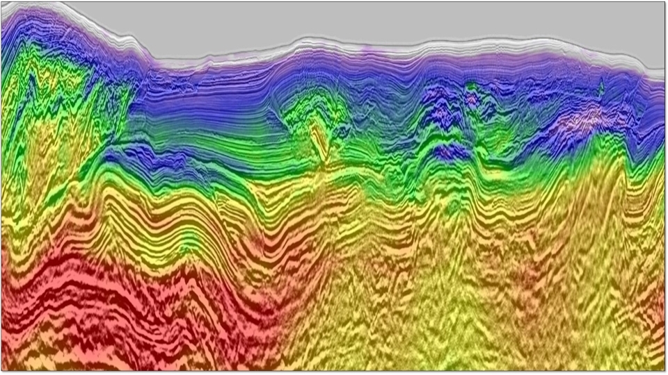
Back to Technical ContentThe Greater Castberg survey was acquired in 2019 using a source-over-spread acquisition design with an additional source at the front of the streamers, towed by the receiver boat, to permit recording of longer offsets. Starting from an initial anisotropic model, time-lag full waveform inversion (TLFWI) was used to compute a 13 Hz velocity model over the 5000 km2 area, which led to a much improved migration image (e.g., better imaged reservoir flat spots). When pushing the inversion frequency up to 90 Hz, the resultant TLFWI velocity model enabled more detailed delineation of reservoir boundaries compared to the migration image. Furthermore, the FWI Image as an alternative view of the FWI velocity model, provided access to new reflectivity information, overcoming some limitations of current migration tools. The use of the full wavefield, including refraction, reflection of primary, multiple and ghost, greatly enhanced image without needing the complex data pre-processing required by conventional imaging. In the context of thick gas clouds, this new imaging technique provided accurate sub-gas reflectivity, which effectively enhanced event continuity compared to reverse time migration (RTM) results.
Download Resource 
Publications
EAGE - European Association of Geoscientists and EngineersAuthors
Nicolas Salaun, Mathieu Reinier, Isabel Espin, Guillaume Gigou


