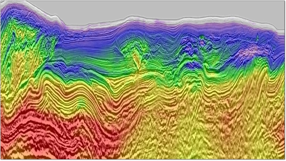


Geotools™ is a modern, interactive platform for the analysis of magnetotelluric (MT) and time-domain electromagnetic (TDEM) data. It features 1D and 2D inversion, 3D forward modeling and 3D model slicing capabilities. Geotools encourages explorers to view and manipulate multiple data types, allowing ancillary information to be integrated into MT data analysis.
Download Resource 