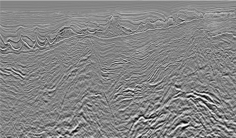
Geovation was developed to meet the rapidly growing demands of seismic processing, including the new generation of massive high-density wide-azimuth datasets and the latest compute-intensive imaging algorithms.
With our extensive experience in developing and using geophysical software, Geovation is rigorously engineered for reliability, quality and usability. It brings together the latest technology across the full spectrum of seismic processing, imaging and reservoir characterization.
- 2D, 3D, 4D, multicomponent and wide-azimuth
- Land, marine, seabed and transition zone
- Architecture proven on the largest datasets
- Over 300 batch processing modules
- Full range of advanced applications for interactive processing and QC
