Geotools
Your software of choice for magnetotelluric data analysis and inversion
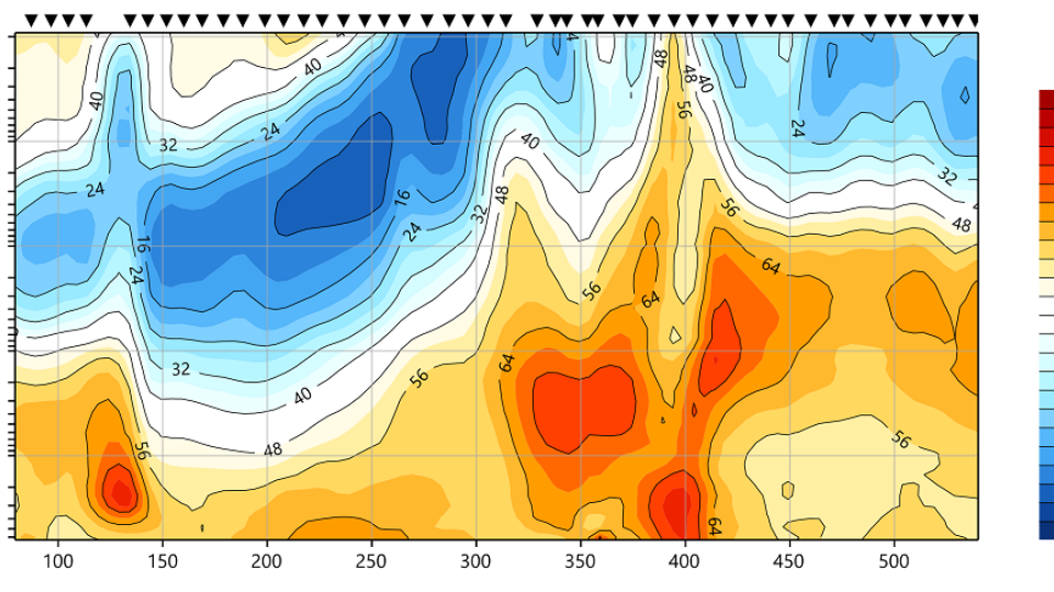
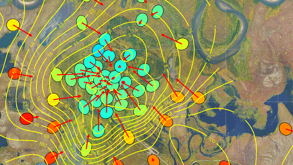
Geotools™ is a modern, interactive platform for the analysis of magnetotelluric (MT) data. Continuously expanded and carefully maintained, Geotools offers you a complete analysis workflow for your data from QC, editing and 1D inversion modeling all the way to 3D inversion modeling on the CGG Cloud.
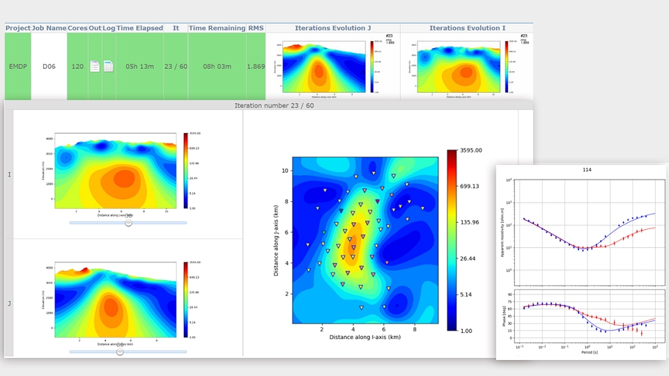
Get full control, from QC to 3D MT inversion
Find out how Geotools encourages explorers to view and manipulate multiple data types, allowing ancillary information to be integrated into the MT data analysis.
New Geotools 3 Features
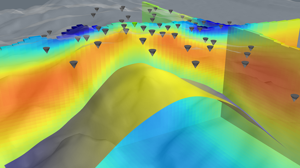
The latest release v3.0 of Geotools includes 3D visualization, available to all users.
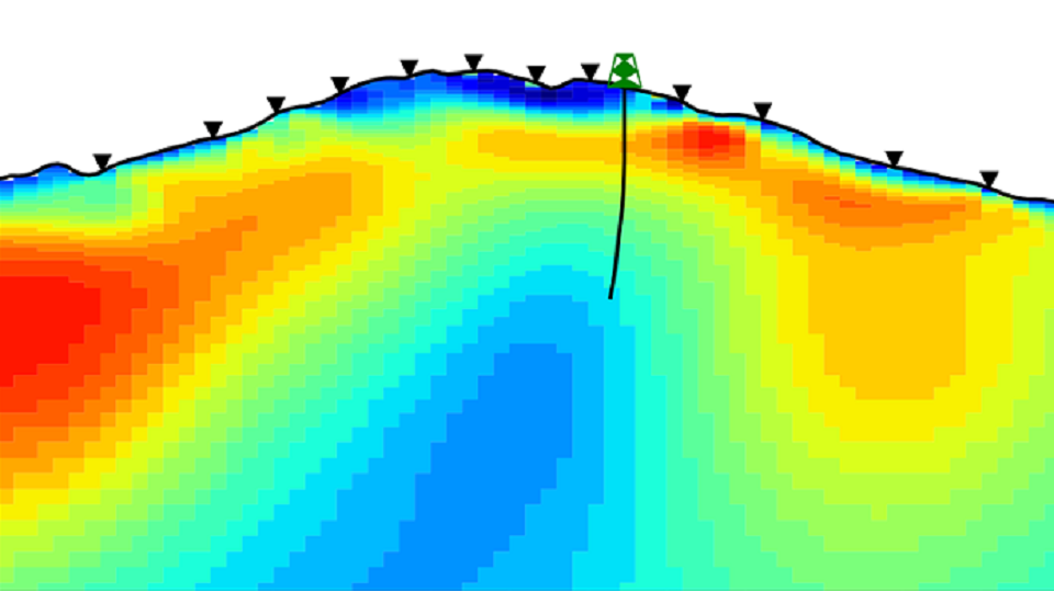
3D Scenes provide high-quality display of surveys, point sets, horizons, and 2D and 3D models - with fully configurable appearance and fast rendering on standard laptops. The new display allows for better interpretation of modelled structures in a true 3D space.
Geotools has also expanded its cloud-based 3D MT inversion modeling workflow, with added functionalities like honoring true sensor locations in case of sparse magnetic channel setups.
