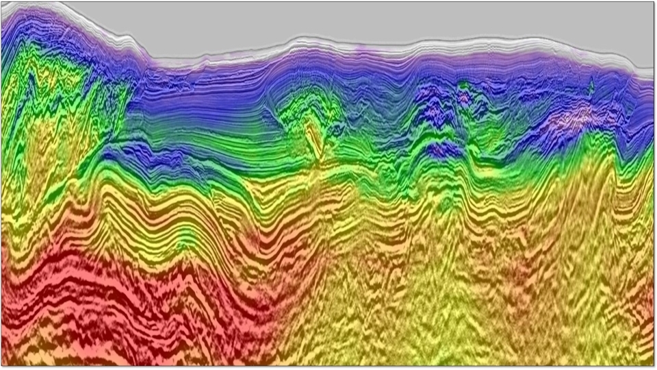
We present a FWI case study from offshore Gabon of an extremely large dataset covering an area ~25,000 km2, demonstrating that FWI can be applied to this size of survey in a timely manner. The history of the South Gabon basin is complex, leading to a rich geological picture today and challenging velocity model-building process. FWI is able to help with this process and the resulting velocity model reveals features that improve the migrated image. In addition, the detail in the FWI velocity model is shown to aid the geological interpretation by highlighting, amongst other things, the location of shallow gas pockets, buried channels and carbonate rafts.
Download Resource 
Publications
Interpretation (SEG+AAPG)Authors
Bingmu Xiao, Nadezhda Kotova, Samuel Bretherton, Andrew Ratcliffe, Gregor Duval, Chris Page, Owen Pape


