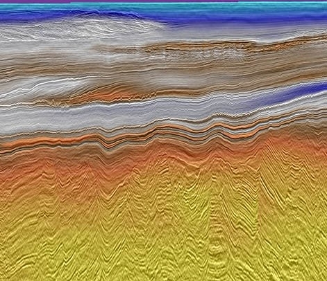
North West Shelf
Evaluate potential with high-quality 3D seismic data
Our North West Shelf data library offers solutions based on our high-quality seismic data to explorers in Australia’s premier petroleum province. We use our broad range of geoscience expertise to provide clients with integrated offerings that complement our high-quality seismic data and provide exploration insight in basins across the region.
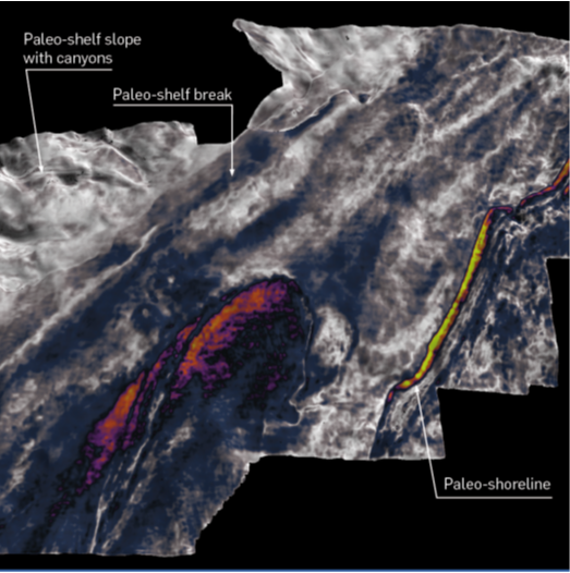
The North West Shelf integrated geoscience data and interpretation package provides an enhanced framework of the Triassic paleogeography and petroleum systems, establishing evidence for the presence of thermally mature, Triassic oil-prone source rocks.
Highlights
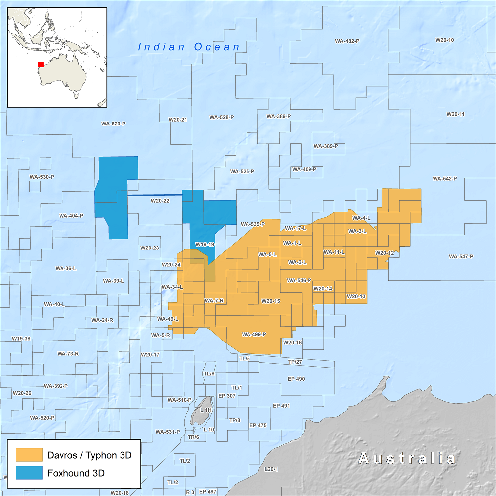
- Davros – over 11,000 km2 of broadband PSDM seismic data. Davros Extension was acquired using the latest multi-sensor streamer technology and benefits from our advanced least-squares Q pre-stack depth migration (LS-QPSDM).
- Typhon – this 15,700 km2 of high-end reprocessing project targets the most prolific acreage on the North West Shelf. Using cutting-edge processing such as LS-QPSDM, FWI, multi-azimuth processing and joint source-receiver deghosting, Typhon delivers a seamless broadband data set, from shallow to deep water.
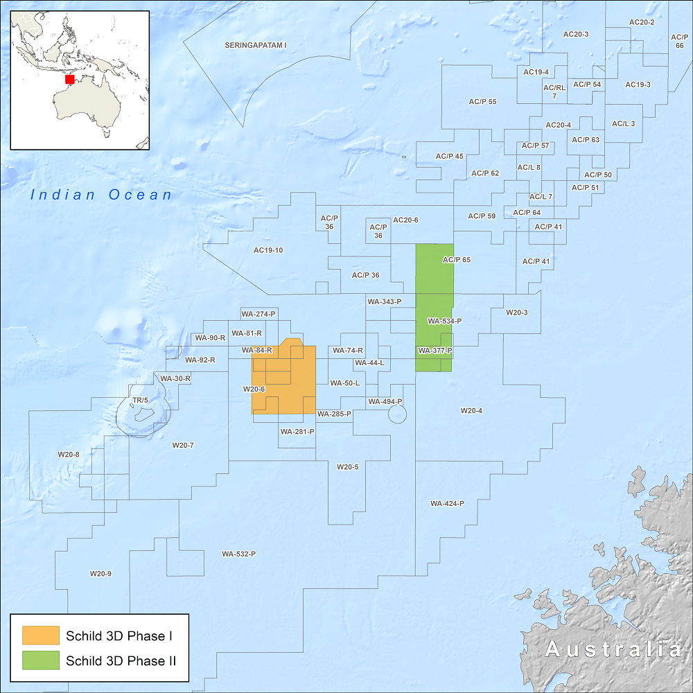
- Schild Phase I – 2,340 km2 of PSDM data offering improved broadband imaging.
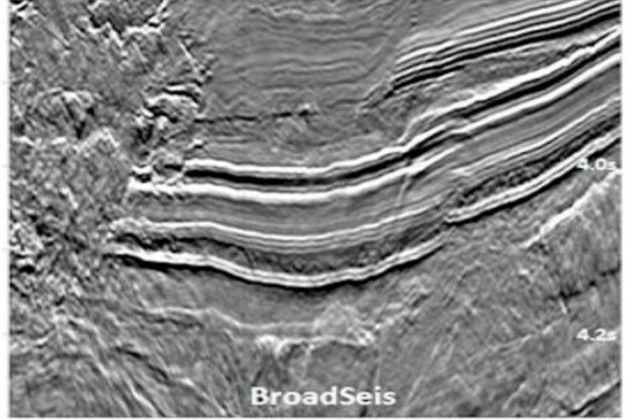
- Schild Phase II 3D – 2,460 km2 of BroadSeis PSDM data located within the Caswell Sub-basin.
- Foxhound – 3,454 km2 of conventional 3D data, acquired with joint venture partner Searcher Seismic, and re-processed through an advanced broadband PSDM sequence in 2018.
- North West Shelf integrated geoscience data and interpretation package encompassing the Triassic potential of the Northern Carnarvon, Roebuck, Browse and Bonaparte Basins.
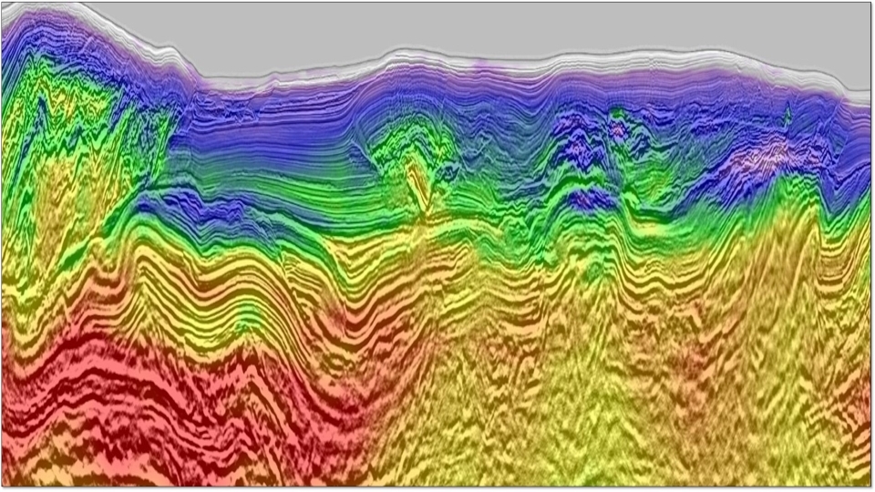
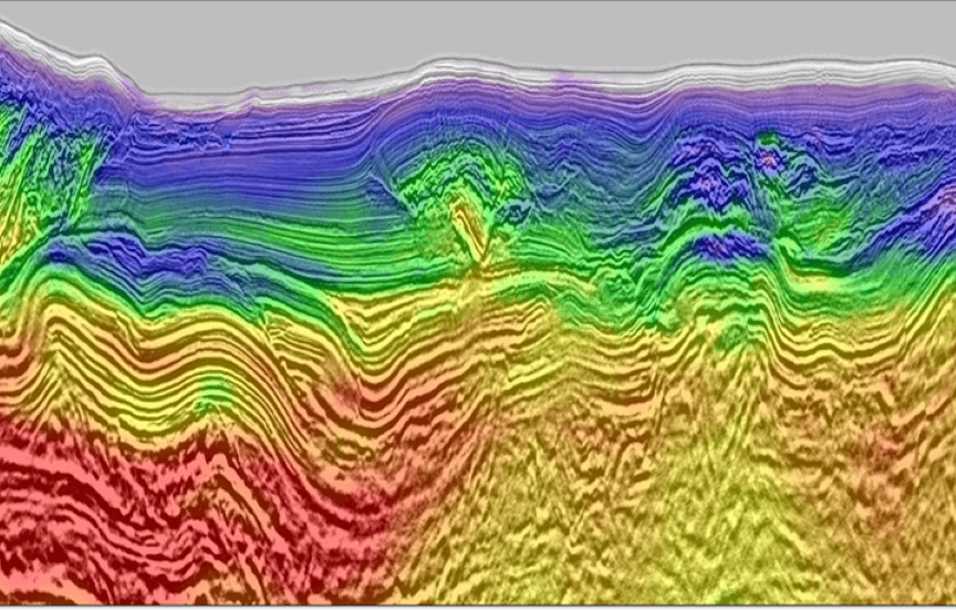
Typhon 3D: Highlighting Reservoir Distribution on the North West Shelf
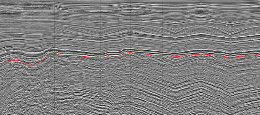
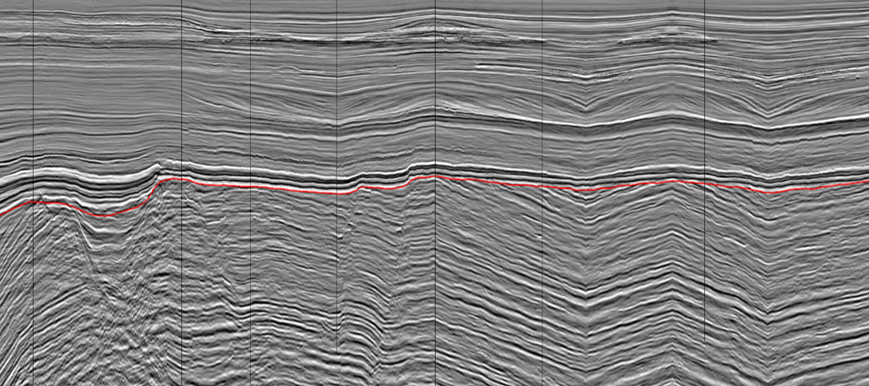
15,700 km2 state-of-the-art reprocessed multi-azimuth PSDM data solves imaging challenges of the prolific Dampier sub-basin.
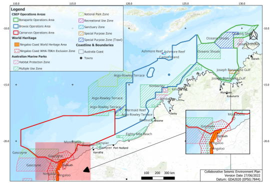
Collaborative Seismic Environment Plan Consortium (CSEP)
CGG is a member of the Collaborative Seismic Environment Plan (CSEP) Consortium, put together by National Energy Resources Australia (NERA).
Request a Shapefile
Learn more about our multi-client library coverage. Request a zipped shapefile (.shp) for your region of interest.
Related Technology
BroadSeis
Identify reservoir attributes with highly detailed broadband subsurface images that enable enhanced deep penetration.
Full-Waveform Inversion
Get highly detailed, data-driven models of subsurface velocity, absorption and reflectivity from full-waveform inversion (FWI).
Least-Squares Migration
Complement FWI and improve image quality using data-driven seismic imaging with least-squares migration (LSM).
Explore available multi-client data using our interactive map.
Explore the GeoStore