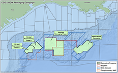
Gulf of Mexico Alaminos Canyon
Gain subsalt insight with wide azimuth seismic surveys
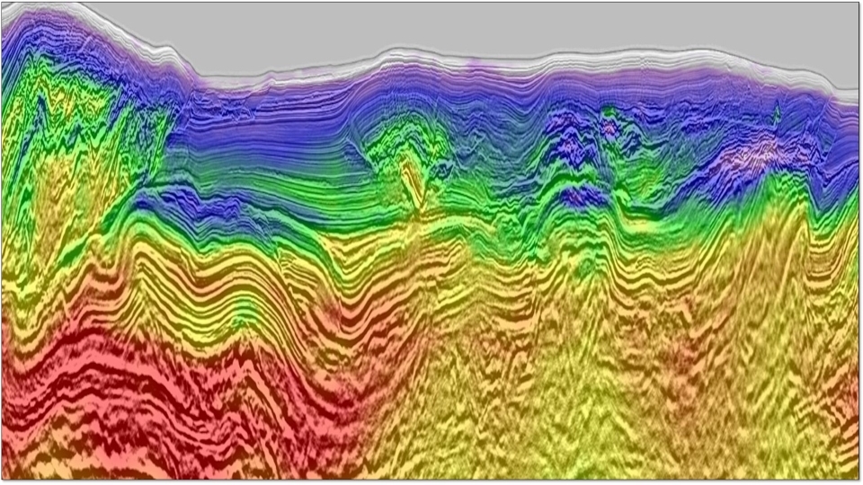
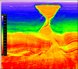
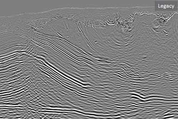
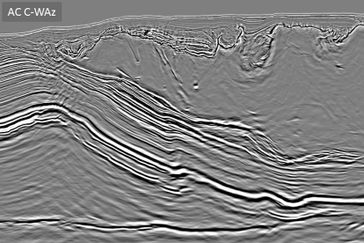
The Alaminos Canyon complementary wide azimuth survey with full azimuthal coverage provides improved imaging of complex geological structures, and delivers new insight for subsalt plays.
Highlights
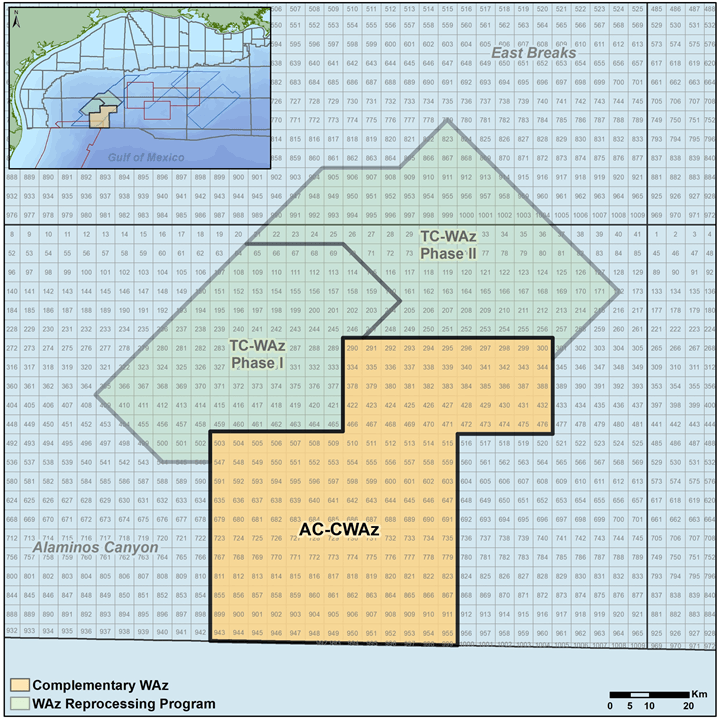
- Complementary wide azimuth (C-WAz) broadband survey covering 200 OCS blocks over the Perdido Fold Belt, featuring extra-long offsets up to 15 km
- Acquired with East-West orientation, this survey overlays three narrow and one wide azimuth survey
- One narrow azimuth (NAz) survey acquired with North-South orientation; two NAz surveys acquired with Northwest-Southeast orientation
- The underlying wide azimuth survey was acquired with Northeast-Southwest orientation
- All surveys processed together to provide exceptionally rich azimuthal coverage
- Deliverables include a TTI RTM PSDM and a TTI Kirchhoff PSDM featuring:
- Latest 3D deghosting
- Advanced full waveform inversions, including RFWI and time-lag FWI
Request a Shapefile
Learn more about our multi-client library coverage. Request a zipped shapefile (.shp) for your region of interest.
Related Surveys
StagSeis Gulf of Mexico
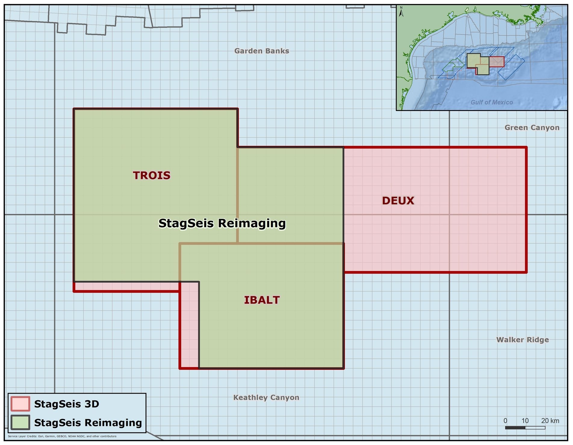
Get outstanding imaging of the subsalt with our Gulf of Mexico StagSeis™ surveys: IBALT, Deux and Trois.
Reimaging Gulf of Mexico
Bring new value to legacy data sets with advanced reprocessed seismic data for the Gulf of Mexico.
Mississippi Canyon
Improve model accuracy and image quality in the Gulf of Mexico subsalt with our OBN seismic imaging.
Explore available multi-client data using our interactive map.
Explore the GeoStore