TerraCube UK
Increase knowledge with reconnaissance data sets for the United Kingdom
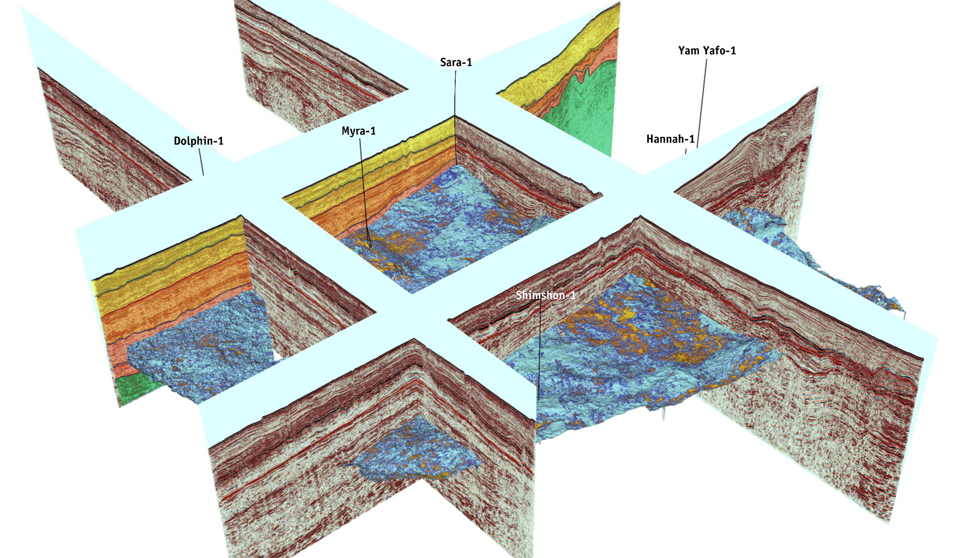
TerraCube™ UK data sets combine all available released data for workstation-ready, low-cost, basin-wide reconnaissance data sets. These data and value-added products include 2D and 3D seismic tied to well information, regional horizons, velocity databases and integrated geology. The exact components depend on the product
The TerraCube™ family includes:
- 3D TerraCubeREGRID
- 3D TerraCubePSTM
- TerraCube2D
- TerraCubeINTERP
- TerraCubeCST
- TerraCubeWSM
- TerraCubeVELCUBE
- TerraCubeDEPTH

TerraCube UK Highlights
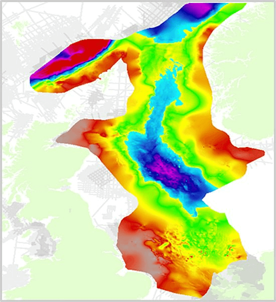
- UK TerraCubeREGRID – 3D post-stack matched seismic compilations, ideal for ‘Rapid Regional Review’ over mature areas: North Sea (68,610 km2), Irish Sea Basins (4,671 km2), Atlantic Margin (17,395 km2).
- UK TerraCube2D – 2D seismic compilations (over 250,000 kilometers), ideal for "Rapid Regional Review" over frontier areas: integrated into 3D coverage gaps with coverage into basin flanks and frontier areas.
- UK TerraCubePSTM – High-quality, cost-effective 2D and 3D data sets that are industry-supported reprocessing projects. Pre-stack data sets are available for detailed evaluation: North Sea (32,913 km2), Atlantic Margin (9,276 km2).
Request a Shapefile
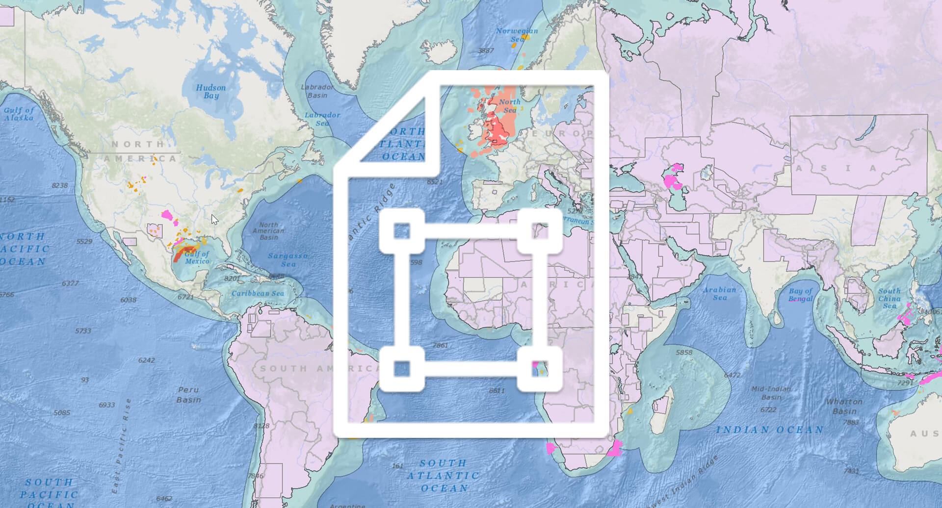
Learn more about our multi-client library coverage. Request a zipped shapefile (.shp) for your region of interest.
Related Surveys
Bulgaria & Black Sea
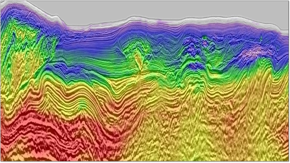
Rapidly assess the geology of Bulgaria and the Black Sea with reprocessed seismic data integrated with well and geological data.
East Mediterranean
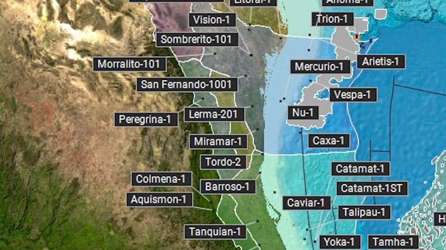
Enhance exploration with a comprehensive, enhanced, workstation-ready data set of 2D, 3D seismic and well data products.
Mediterranean Database
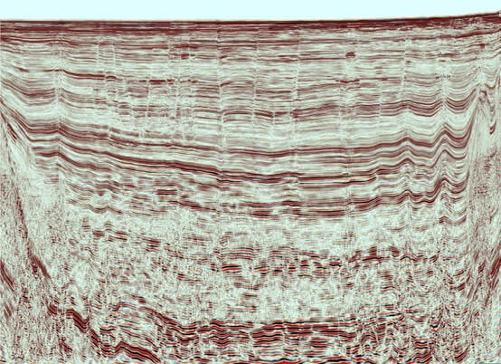
Mitigate risk with integrated data from Alboran Sea, Gulf of Valencia, Rhône Delta, Italy and Regional Mediterranean Sea.
Explore available multi-client data using our interactive map.
Explore the GeoStore